Cof Cymru: National Historic Assets of Wales · Wales
Privy at Trewern
Nevern, Pembrokeshire, Wales
A Grade II listed building in Trewern, Nevern, Pembrokeshire, designated on 27 October 1992.
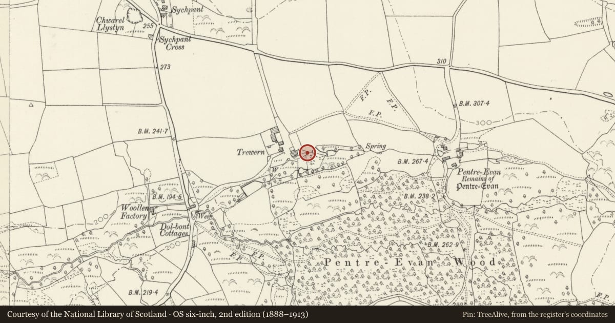
The record
- Designation
- Listed building, Grade II
- Broad class
- Domestic
- Date of designation
- 27 October 1992
- Locality
- Trewern
- Community
- Nevern
- Unitary authority
- Pembrokeshire
- Country
- Wales
- Coordinates
- 52.00839, -4.78630
- Cadw reference
- 12809
Slide toward Today to fade the historical sheet and see the modern map underneath.
David Rumsey Map Collection, Stanford LibrariesDavid Rumsey Map Collection, Stanford LibrariesDavid Rumsey Map Collection, Stanford LibrariesDavid Rumsey Map Collection, Stanford LibrariesDavid Rumsey Map Collection, Stanford Libraries
5 historical maps cover this location, the earliest the 1636 map "Cornubia : Devonia, Somersetus, Dorcestria, Wiltonia, Glocestria ..." (David Rumsey Map Collection, Stanford Libraries).
Historical maps covering this location
- 1636 · Cornubia : Devonia, Somersetus, Dorcestria, Wiltonia, Glocestria ... (David Rumsey Map Collection, Stanford Libraries)
- 1891 · Sheet 10. Ordnance Survey of England and Wales. . (David Rumsey Map Collection, Stanford Libraries)
- 1898 · 210 Cardigan (Hills) (David Rumsey Map Collection, Stanford Libraries)
- 1898 · 210 Cardigan (Outline) (David Rumsey Map Collection, Stanford Libraries)
- 1901 · Sheet 13. (David Rumsey Map Collection, Stanford Libraries)
Cadw's description
Location
Situated among trees some 50m SE of house.
Exterior
C18 or early C19 privy in whitewashed rubble stone with corrugated iron roof. N front door with loft door above.
Interior
Small square interior with three-seat privy and arch-headed fielded-panelled back.
Reason for designation
Group value with house. Deteriorating condition.
Nearby in the register
- TrewernDomesticunder 1 mi
- Outbuildings by Pond W.of TrewernDomesticunder 1 mi
- Stable Block at TrewernDomesticunder 1 mi
- Former Barn at Pentre Evan FarmAgriculture and Subsistenceunder 1 mi
Other entries of the same register within about three miles of this one, by straight line.