Cof Cymru: National Historic Assets of Wales · Wales
15 Newport Road
Fishguard and Goodwick, Pembrokeshire, Wales
A Grade II listed building in Lower Town, Fishguard, Fishguard and Goodwick, Pembrokeshire, designated on 24 November 1978.
The record
- Designation
- Listed building, Grade II
- Broad class
- Domestic
- Date of designation
- 24 November 1978
- Locality
- Lower Town
- Town
- Fishguard
- Community
- Fishguard and Goodwick
- Unitary authority
- Pembrokeshire
- Country
- Wales
- Coordinates
- 51.99587, -4.96809
- Cadw reference
- 12325
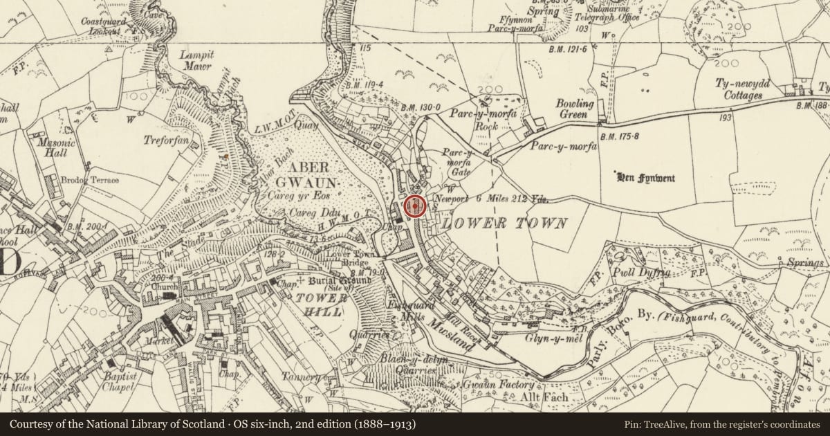
Slide toward Today to fade the historical sheet and see the modern map underneath.
David Rumsey Map Collection, Stanford LibrariesDavid Rumsey Map Collection, Stanford LibrariesDavid Rumsey Map Collection, Stanford LibrariesDavid Rumsey Map Collection, Stanford LibrariesDavid Rumsey Map Collection, Stanford Libraries
5 historical maps cover this location, the earliest the 1608 map "(13) Cambriae Typus." (David Rumsey Map Collection, Stanford Libraries).
Historical maps covering this location
- 1608 · (13) Cambriae Typus. (David Rumsey Map Collection, Stanford Libraries)
- 1891 · Sheet 10. Ordnance Survey of England and Wales. . (David Rumsey Map Collection, Stanford Libraries)
- 1898 · 210 Cardigan (Hills) (David Rumsey Map Collection, Stanford Libraries)
- 1898 · 210 Cardigan (Outline) (David Rumsey Map Collection, Stanford Libraries)
- 1901 · Sheet 13. (David Rumsey Map Collection, Stanford Libraries)
Cadw's description
Location
Situated behind garden wall on the street line attached as a pair to No 17.
History
Earlier to mid C19 semi-detatched house, a pair with No 17. Building shown on this site on tithe map of 1844.
Exterior
Semi-detached house, colour-washed roughcast cladding with imitation slate roof and small brick end stacks, the left one shared. Two-storey 3-window range, the 4-pane sash windows close-spaced around a central C20 4-panel door.
A small, recessed 2 storey service wing is to the right, with a door in inner bay and 2 windows in outer bay, one small closely above a slightly larger one. Four-pane casement windows and C20 glazed door.
Since the 1978 listing, the service wing no longer has a grouted slate roof and has lost a stack to the right end.
Reason for designation
Included as one of a pair of earlier C19 houses, typical of Lower Fishguard.
Nearby in the register
- Solway HouseDomesticunder 1 mi
- Well Cottage/Bwthyn FfynnonDomesticunder 1 mi
- The Dinas ArmsCommercialunder 1 mi
- Justin CottageDomesticunder 1 mi
Other entries of the same register within about three miles of this one, by straight line.