Cof Cymru: National Historic Assets of Wales · Wales
Premises occupied by The Dragon House
Fishguard and Goodwick, Pembrokeshire, Wales
A Grade II listed building in Fishguard, Fishguard and Goodwick, Pembrokeshire, designated on 24 November 1978.
The record
- Designation
- Listed building, Grade II
- Broad class
- Commercial
- Date of designation
- 24 November 1978
- Locality
- Fishguard
- Community
- Fishguard and Goodwick
- Unitary authority
- Pembrokeshire
- Country
- Wales
- Coordinates
- 51.99336, -4.97502
- Cadw reference
- 12266
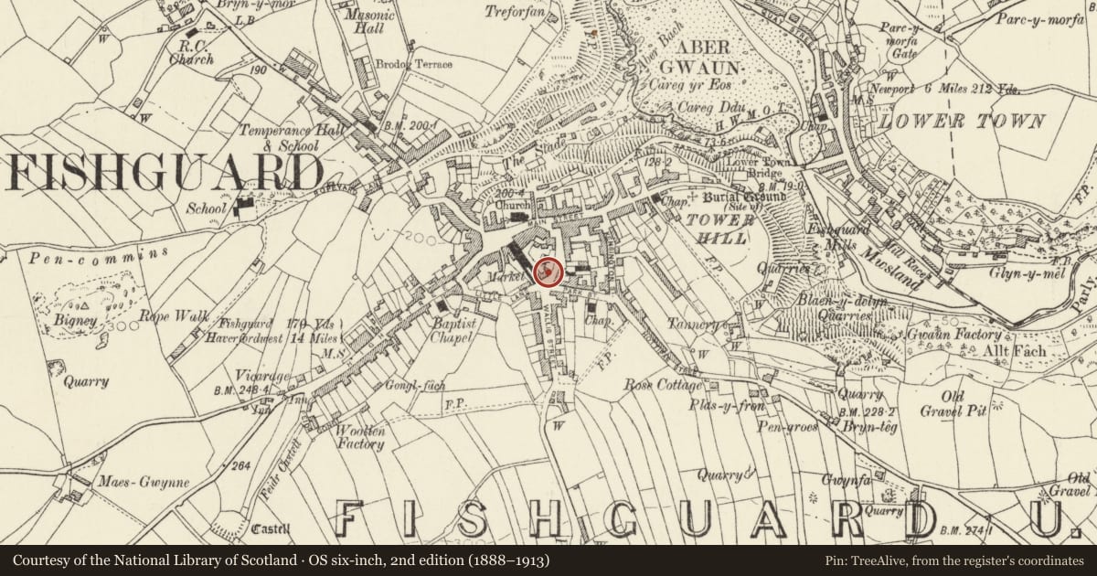
Slide toward Today to fade the historical sheet and see the modern map underneath.
David Rumsey Map Collection, Stanford LibrariesDavid Rumsey Map Collection, Stanford LibrariesDavid Rumsey Map Collection, Stanford LibrariesDavid Rumsey Map Collection, Stanford LibrariesDavid Rumsey Map Collection, Stanford Libraries
5 historical maps cover this location, the earliest the 1608 map "(13) Cambriae Typus." (David Rumsey Map Collection, Stanford Libraries).
Historical maps covering this location
- 1608 · (13) Cambriae Typus. (David Rumsey Map Collection, Stanford Libraries)
- 1891 · Sheet 10. Ordnance Survey of England and Wales. . (David Rumsey Map Collection, Stanford Libraries)
- 1898 · 210 Cardigan (Hills) (David Rumsey Map Collection, Stanford Libraries)
- 1898 · 210 Cardigan (Outline) (David Rumsey Map Collection, Stanford Libraries)
- 1901 · Sheet 13. (David Rumsey Map Collection, Stanford Libraries)
Cadw's description
Location
Situated detached on the street line, opposite Nos 23-5 and on the curve of road into Parc-y-Shwt
History
Earlier C19 3-storey town house, marked on 1844 tithe map. In use as Chinese take-away premises since 1990s.
Exterior
Detached house, now shop, painted roughcast cladding with imitation slate roof, plain red ridge tiles and stone end stacks. Three-storey 3-window range, upper floor with 3 small plate glass sash windows, of which the tops are at eaves level. First floor has 3 much longer plate glass sashes; ground floor has similar window to left of central doorway and plate glass shop window in wood surround to right. Door, glazed with low stone doorstep. Rear of roof descends over 2-storey outshut.
Since previous listing slate roof, stucco cladding, 7-panelled door with top 5 panels fielded, and fenestration have been altered.
Reason for designation
Included as prominently-sited Georgian town house which, though windows altered, retains basic fabric.
Nearby in the register
- Former store buildingDomesticunder 1 mi
- Walter Brearley HouseDomesticunder 1 mi
- 13 Hamilton Street including area railingsDomesticunder 1 mi
- 11 Hamilton Street including area railingsDomesticunder 1 mi
Other entries of the same register within about three miles of this one, by straight line.