Cof Cymru: National Historic Assets of Wales · Wales
Churchyard Cross in Churchyard of St Ellyw
Llanelli, Carmarthenshire, Wales
A Grade II listed building in Llanelli, Carmarthenshire, designated on 12 March 1992.
The record
- Designation
- Listed building, Grade II
- Broad class
- Religious, Ritual and Funerary
- Date of designation
- 12 March 1992
- Community
- Llanelli
- Unitary authority
- Carmarthenshire
- Country
- Wales
- Coordinates
- 51.68360, -4.16156
- Cadw reference
- 11890
Slide toward Today to fade the historical sheet and see the modern map underneath.
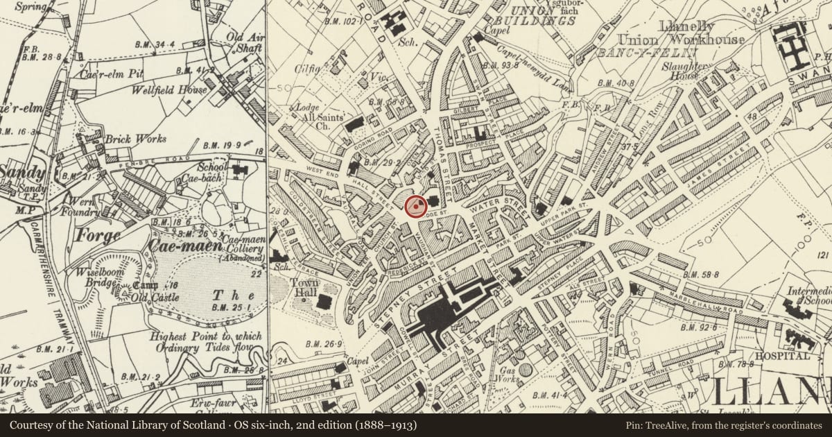
David Rumsey Map Collection, Stanford LibrariesDavid Rumsey Map Collection, Stanford LibrariesNational Library of ScotlandDavid Rumsey Map Collection, Stanford LibrariesDavid Rumsey Map Collection, Stanford Libraries
5 historical maps cover this location, the earliest the 1636 map "Cornubia : Devonia, Somersetus, Dorcestria, Wiltonia, Glocestria ..." (David Rumsey Map Collection, Stanford Libraries).
Historical maps covering this location
- 1636 · Cornubia : Devonia, Somersetus, Dorcestria, Wiltonia, Glocestria ... (David Rumsey Map Collection, Stanford Libraries)
- 1637 · The fourth table of England. Cornub. Devonia, Somerset etc. (David Rumsey Map Collection, Stanford Libraries)
- 1891 · Sheet 10. Ordnance Survey of England and Wales. . (David Rumsey Map Collection, Stanford Libraries)
- 1920 · Sheet 100. Llanelly. (David Rumsey Map Collection, Stanford Libraries)
- 1963 · Map No. 4 - Local Government Commission for Wales : [Definitive maps showing proposed… (National Library of Scotland)
Cadw's description
Location
Situated some 10m west of Church of St Ellyw.
Exterior
C19 cross in limestone ashlar on earlier steps and plinth, possibly medieval. Three rubble stone steps, then 2-step blue lias stone plinth, much eroded. Cross itself is short with pedestal under pyramidal cap carrying short tapering octagonal shaft with moulded cap and foliated ringed cross.
Reason for designation
Group Value
Nearby in the register
- The War Memorial in Churchyard of St EllywCommemorativeunder 1 mi
- Lychgate to Churchyard of church of St EllywReligious, Ritual and Funeraryunder 1 mi
- 24 Vaughan St / Bridge StDomesticunder 1 mi
- Llanelly HouseDomesticunder 1 mi
Other entries of the same register within about three miles of this one, by straight line.