Cof Cymru: National Historic Assets of Wales · Wales
The Belvedere
Sketty, Swansea, Wales
A Grade II listed building in Sketty, Swansea, designated on 27 January 1989.
The record
- Designation
- Listed building, Grade II
- Broad class
- Gardens, Parks and Urban Spaces
- Date of designation
- 27 January 1989
- Community
- Sketty
- Unitary authority
- Swansea
- Country
- Wales
- Coordinates
- 51.61049, -4.00157
- Cadw reference
- 11761
Slide toward Today to fade the historical sheet and see the modern map underneath.
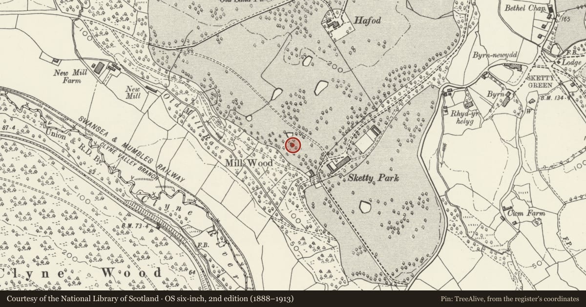
David Rumsey Map Collection, Stanford LibrariesDavid Rumsey Map Collection, Stanford LibrariesDavid Rumsey Map Collection, Stanford LibrariesDavid Rumsey Map Collection, Stanford LibrariesDavid Rumsey Map Collection, Stanford Libraries
5 historical maps cover this location, the earliest the 1636 map "Cornubia : Devonia, Somersetus, Dorcestria, Wiltonia, Glocestria ..." (David Rumsey Map Collection, Stanford Libraries).
Historical maps covering this location
- 1636 · Cornubia : Devonia, Somersetus, Dorcestria, Wiltonia, Glocestria ... (David Rumsey Map Collection, Stanford Libraries)
- 1865 · England and Wales. England No. 6. (David Rumsey Map Collection, Stanford Libraries)
- 1891 · Sheet 10. Ordnance Survey of England and Wales. . (David Rumsey Map Collection, Stanford Libraries)
- 1897 · 247 Swansea (Hills) (David Rumsey Map Collection, Stanford Libraries)
- 1920 · Sheet 100. Llanelly. (David Rumsey Map Collection, Stanford Libraries)
Cadw's description
Location
Ornamental garden building on small overgrown hillock to SW of road, formerly in parkland of (demolished) Sketty Park House.
History
Probably designed by William Jernagen, architect, of Swansea, who designed Sketty Park House (1806).
Exterior
Gothick prospect tower of octagonal plan (imitating medieval chapter house). Rubble-faced walls with droved freestone dressing, taller polygonal stair turret to NW angle. Panelled parapets (broken) over eaves stringcourse, diagonal corner buttresses with set-offs, pointed chamfered lights with dripmoulds, Y-tracery facing road. Tall (blocked) chamfered archway on W side; pointed (blocked) doorway to stair turret with corbelled top and cross loops.
In derelict condition at time of inspection.
Interior
Remarkable vaulted interior with central ribbed pier and wall shafts supporting slender ribs to centralised brick vaults.
Nearby in the register
- Ynys Pit & LeatAqueductunder 1 mi
- Clyne Valley Shaft MoundsCoal Mineunder 1 mi
- Clyne Wood Coal LevelCoal Mineunder 1 mi
- Sketty HallDomesticunder 1 mi
Other entries of the same register within about three miles of this one, by straight line.