Cof Cymru: National Historic Assets of Wales · Wales
Lychgate to Church of St Paul
Sketty, Swansea, Wales
A Grade II listed building in Sketty, Swansea, designated on 15 November 1993.
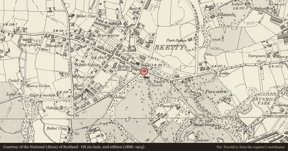
The record
- Designation
- Listed building, Grade II
- Broad class
- Religious, Ritual and Funerary
- Date of designation
- 15 November 1993
- Community
- Sketty
- Unitary authority
- Swansea
- Country
- Wales
- Coordinates
- 51.61741, -3.98357
- Cadw reference
- 11755
Slide toward Today to fade the historical sheet and see the modern map underneath.
David Rumsey Map Collection, Stanford LibrariesDavid Rumsey Map Collection, Stanford LibrariesDavid Rumsey Map Collection, Stanford LibrariesDavid Rumsey Map Collection, Stanford LibrariesDavid Rumsey Map Collection, Stanford Libraries
5 historical maps cover this location, the earliest the 1636 map "Cornubia : Devonia, Somersetus, Dorcestria, Wiltonia, Glocestria ..." (David Rumsey Map Collection, Stanford Libraries).
Historical maps covering this location
- 1636 · Cornubia : Devonia, Somersetus, Dorcestria, Wiltonia, Glocestria ... (David Rumsey Map Collection, Stanford Libraries)
- 1865 · England and Wales. England No. 6. (David Rumsey Map Collection, Stanford Libraries)
- 1891 · Sheet 10. Ordnance Survey of England and Wales. . (David Rumsey Map Collection, Stanford Libraries)
- 1897 · 247 Swansea (Hills) (David Rumsey Map Collection, Stanford Libraries)
- 1920 · Sheet 100. Llanelly. (David Rumsey Map Collection, Stanford Libraries)
Cadw's description
Location
At Sketty Road entrance to churchyard near junction with De La Beche Road.
History
Probably contemporary with building of church (1850’s). On 1st Edition OS 25" map surveyed 1878.
Exterior
Lychgate built into wall of churchyard. Hipped stone slate roof has gablets to church and road with pierced cruciform decoration. Miniature collar-and-tie-beam roof has arched-braced collar purlin, tie beams on stone corbels of side walls which each have two have Gothic lancets with splayed sides. Wooden arches to entrances; low wooden gates.
Nearby in the register
- Church of St PaulReligious, Ritual and Funeraryunder 1 mi
- Stewart Hall and No 68Educationunder 1 mi
- North Lodge of Singleton ParkDomesticunder 1 mi
- Veranda House in Singleton ParkDomesticunder 1 mi
Other entries of the same register within about three miles of this one, by straight line.