Cof Cymru: National Historic Assets of Wales · Wales
28 Church Street
Llangollen, Denbighshire, Wales
A Grade II listed building in Llangollen, Denbighshire, designated on 22 December 1989.
The record
- Designation
- Listed building, Grade II
- Broad class
- Domestic
- Date of designation
- 22 December 1989
- Community
- Llangollen
- Unitary authority
- Denbighshire
- Country
- Wales
- Coordinates
- 52.96911, -3.16636
- Cadw reference
- 1169
Slide toward Today to fade the historical sheet and see the modern map underneath.
David Rumsey Map Collection, Stanford LibrariesDavid Rumsey Map Collection, Stanford LibrariesDavid Rumsey Map Collection, Stanford LibrariesDavid Rumsey Map Collection, Stanford LibrariesLlyfrgell Genedlaethol Cymru – The National Library of Wales
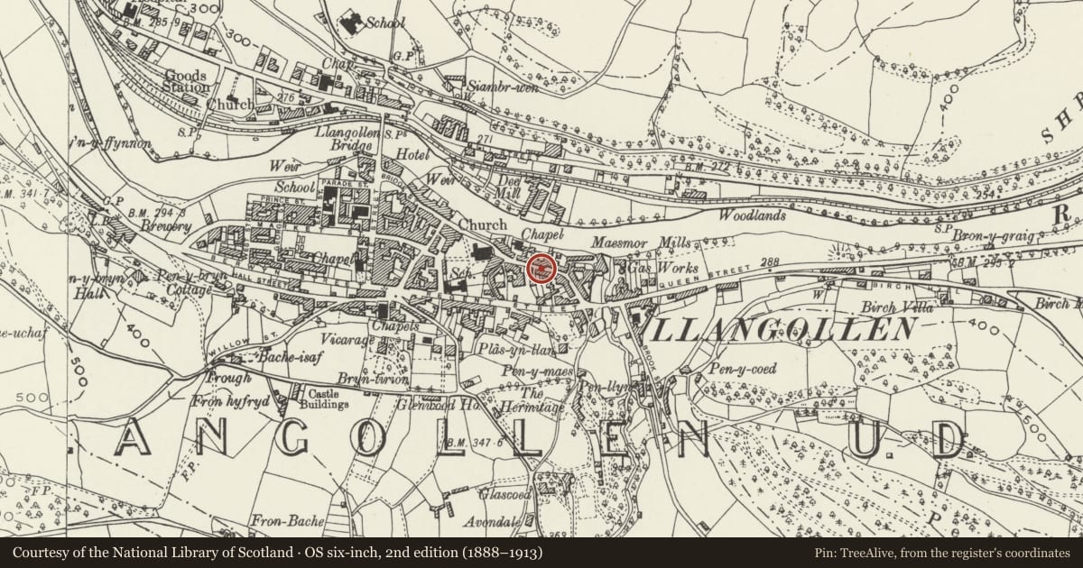
5 historical maps cover this location, the earliest the 1795 map "To Sir Watkin Williams-Wynn Bart ... the map of the six counties of North Wales is most humbly inscribed by his obedient humble servant" (Llyfrgell Genedlaethol Cymru – The National Library of Wales).
Historical maps covering this location
- 1795 · To Sir Watkin Williams-Wynn Bart ... the map of the six counties of North Wales is most… (Llyfrgell Genedlaethol Cymru – The National Library of Wales)
- 1883 · Watershed map England, Wales 3. (David Rumsey Map Collection, Stanford Libraries)
- 1898 · 121 Wrexham (Hills) (David Rumsey Map Collection, Stanford Libraries)
- 1898 · 121 Wrexham (Outline) (David Rumsey Map Collection, Stanford Libraries)
- 1901 · Sheet 9 and 10. (David Rumsey Map Collection, Stanford Libraries)
Cadw's description
Location
Detached to right, set in the slope midway along the street.
Exterior
Group of earlier C19, late Georgian, 3-storey and basement 1-window roughcast fronts with plinth and slate roofs. No 28 has applied detailed including reeded pilasters, cill bands and 'S' shaped brace-plates; also bracket eaves and cills and architraves, shouldered to 1st and ground foor with keystones. Modern small pane windows throughout No 28, except basement. Camber headed windows to Nos 30 and 32, modern to No 30 1st and 2nd floors but otherwise small pane sash; plain basement windows. 6-panel doors to Nos 28 and 30, modern glazed door to No 32; all retain Georgian doorcases, arched entries cornices and reeded pilasters - Gothick fanlights to Nos 28 and 30.
Reason for designation
Included for group value with Nos 34-38.
Nearby in the register
- 30 Church StreetDomesticunder 1 mi
- 32 Church StreetDomesticunder 1 mi
- 25 Church StreetDomesticunder 1 mi
- 34 Church StreetDomesticunder 1 mi
Other entries of the same register within about three miles of this one, by straight line.