Cof Cymru: National Historic Assets of Wales · Wales
Bryn Hyfryd Baptist Chapel
Landore, Swansea, Wales
A Grade II listed building in Landore, Swansea, designated on 30 March 1987.
The record
- Designation
- Listed building, Grade II
- Broad class
- Religious, Ritual and Funerary
- Date of designation
- 30 March 1987
- Community
- Landore
- Unitary authority
- Swansea
- Country
- Wales
- Coordinates
- 51.64224, -3.94394
- Cadw reference
- 11685
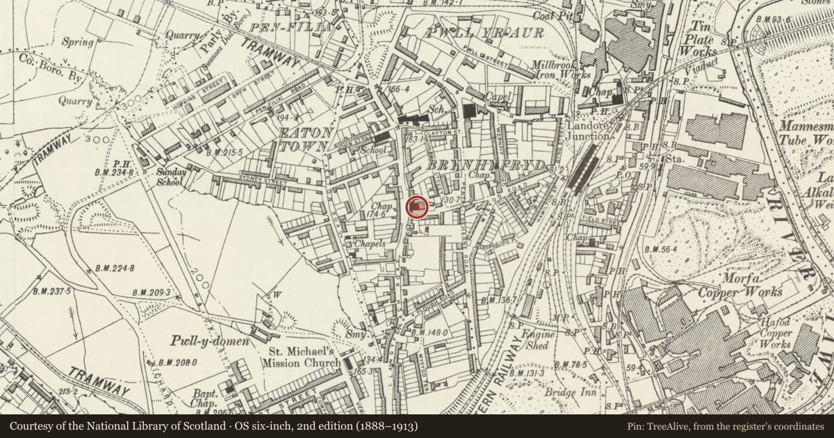
Slide toward Today to fade the historical sheet and see the modern map underneath.
David Rumsey Map Collection, Stanford LibrariesDavid Rumsey Map Collection, Stanford LibrariesDavid Rumsey Map Collection, Stanford LibrariesDavid Rumsey Map Collection, Stanford LibrariesDavid Rumsey Map Collection, Stanford Libraries
5 historical maps cover this location, the earliest the 1636 map "Cornubia : Devonia, Somersetus, Dorcestria, Wiltonia, Glocestria ..." (David Rumsey Map Collection, Stanford Libraries).
Historical maps covering this location
- 1636 · Cornubia : Devonia, Somersetus, Dorcestria, Wiltonia, Glocestria ... (David Rumsey Map Collection, Stanford Libraries)
- 1637 · The fourth table of England. Cornub. Devonia, Somerset etc. (David Rumsey Map Collection, Stanford Libraries)
- 1865 · England and Wales. England No. 6. (David Rumsey Map Collection, Stanford Libraries)
- 1891 · Sheet 10. Ordnance Survey of England and Wales. . (David Rumsey Map Collection, Stanford Libraries)
- 1897 · 247 Swansea (Hills) (David Rumsey Map Collection, Stanford Libraries)
Cadw's description
Location
On the corner with Bryn Terrace.
Exterior
Ca 1900. Twin-tower Gothic façade. Snecked rubble with pale freestone dressings, slate roofs. Wide 3 bay façade, with parapetted gable with heavy finial to centre, 2-light window with cill-band course over large 5-light Geometric W window with hoodmould. Gabled porch rises through main cill, entrance with two filletted orders, nook shafts with bushy capitals, blind tracery to tympanum over paired shouldered doorways. Square, buttressed outer towers; to N with French slated roof and ironwork cresting elongated eaves brackets; to S with corbelled bell storey, pierced parapets, polygonal finials and paired lancets with centre shafts. Lower storeys with tall 2-light windows over paired narrow lancets.
Buttressed side elevation with bracket eaves and giant 2-light traceried windows with blind panels for gallery backs. Narrow forecourt with Gothic finials to piers, modern railings.
Nearby in the register
- New Siloh (Seilo Newydd) Congregational Chapel, including gates and railings.Religious, Ritual and Funeraryunder 1 mi
- School House at New Siloh (Congregational) ChapelReligious, Ritual and Funeraryunder 1 mi
- Caseys Roofing Centre (Formerly Landore Cinema)Commercialunder 1 mi
- Old Siloh Chapel (English)Religious, Ritual and Funeraryunder 1 mi
Other entries of the same register within about three miles of this one, by straight line.