Cof Cymru: National Historic Assets of Wales · Wales
Swansea County Court & Offices
Castle, Swansea, Wales
A Grade II listed building in Castle, Swansea, designated on 30 March 1987.
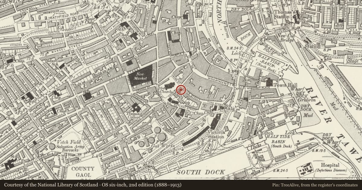
The record
- Designation
- Listed building, Grade II
- Broad class
- Civil
- Date of designation
- 30 March 1987
- Community
- Castle
- Unitary authority
- Swansea
- Country
- Wales
- Coordinates
- 51.61885, -3.94212
- Cadw reference
- 11633
Slide toward Today to fade the historical sheet and see the modern map underneath.
David Rumsey Map Collection, Stanford LibrariesDavid Rumsey Map Collection, Stanford LibrariesDavid Rumsey Map Collection, Stanford LibrariesDavid Rumsey Map Collection, Stanford LibrariesDavid Rumsey Map Collection, Stanford Libraries
5 historical maps cover this location, the earliest the 1636 map "Cornubia : Devonia, Somersetus, Dorcestria, Wiltonia, Glocestria ..." (David Rumsey Map Collection, Stanford Libraries).
Historical maps covering this location
- 1636 · Cornubia : Devonia, Somersetus, Dorcestria, Wiltonia, Glocestria ... (David Rumsey Map Collection, Stanford Libraries)
- 1637 · The fourth table of England. Cornub. Devonia, Somerset etc. (David Rumsey Map Collection, Stanford Libraries)
- 1865 · England and Wales. England No. 6. (David Rumsey Map Collection, Stanford Libraries)
- 1891 · Sheet 10. Ordnance Survey of England and Wales. . (David Rumsey Map Collection, Stanford Libraries)
- 1897 · 247 Swansea (Hills) (David Rumsey Map Collection, Stanford Libraries)
Cadw's description
Location
On corner with Princess Way, immediately S of St Mary’s Churchyard.
History
Dated 1908. Queen Anne Revival.
Exterior
2 storey and attics, red brick with Bath stone dressings including banding. Slate roof with ridge stack to right and front stack on splayed angle to left; moulded corbel with elaborate cartouche, diagonal pilasters, volute supports and moulded cornice.
Attic storey behind parapet with stone window frames, 5-bay N front with stone cornice to parapet, bowed centre bay with 3-light mullioned upper window under cornice, small pane glazing, carved Royal arms "ERVII" in ashlar field over arched hood to bowed entrance. Foliage corbels, egg-and-dart cornice, convex architrave, double recessed doors under inscribed tympanum. Side bays with cross windows to upper floor, 3-light ground-floor windows, all with cornices, impost bands and moulded cills.
3 storey, 2 window elevation to Princess Way with parapeted gable and segmental pediment to capping, smaller corbelled chimney stack to left with carved angel supporter. 2 and 3-light windows as before, horizontal linkage on top floor. Plainer extension to left with doorway up steps.
Reason for designation
Group value.
Nearby in the register
- Church of St MaryReligious, Ritual and Funeraryunder 1 mi
- Old Cross Keys PHCommercialunder 1 mi
- Pedestal & Statue of Sir H.Hussey VivianCommemorativeunder 1 mi
- 4 Princess WayCommercialunder 1 mi
Other entries of the same register within about three miles of this one, by straight line.