Cof Cymru: National Historic Assets of Wales · Wales
Unitarian Church
Castle, Swansea, Wales
A Grade II listed building in Castle, Swansea, designated on 30 March 1987.
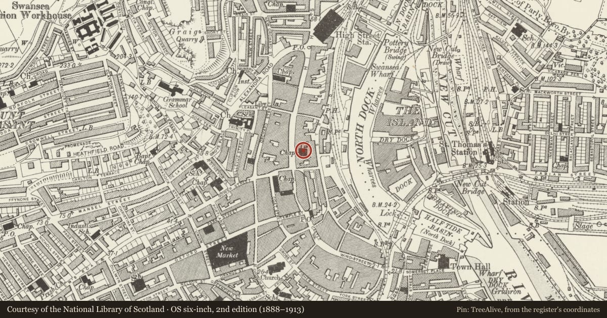
The record
- Designation
- Listed building, Grade II
- Broad class
- Religious, Ritual and Funerary
- Date of designation
- 30 March 1987
- Community
- Castle
- Unitary authority
- Swansea
- Country
- Wales
- Coordinates
- 51.62213, -3.94178
- Cadw reference
- 11587
Slide toward Today to fade the historical sheet and see the modern map underneath.
David Rumsey Map Collection, Stanford LibrariesDavid Rumsey Map Collection, Stanford LibrariesDavid Rumsey Map Collection, Stanford LibrariesDavid Rumsey Map Collection, Stanford LibrariesDavid Rumsey Map Collection, Stanford Libraries
5 historical maps cover this location, the earliest the 1636 map "Cornubia : Devonia, Somersetus, Dorcestria, Wiltonia, Glocestria ..." (David Rumsey Map Collection, Stanford Libraries).
Historical maps covering this location
- 1636 · Cornubia : Devonia, Somersetus, Dorcestria, Wiltonia, Glocestria ... (David Rumsey Map Collection, Stanford Libraries)
- 1637 · The fourth table of England. Cornub. Devonia, Somerset etc. (David Rumsey Map Collection, Stanford Libraries)
- 1865 · England and Wales. England No. 6. (David Rumsey Map Collection, Stanford Libraries)
- 1891 · Sheet 10. Ordnance Survey of England and Wales. . (David Rumsey Map Collection, Stanford Libraries)
- 1897 · 247 Swansea (Hills) (David Rumsey Map Collection, Stanford Libraries)
Cadw's description
Location
Set back from street with gabled porch reached across an open paved forecourt.
History
Originally the Baptist Chapel of 1698, rebuilt 1840 (partly shown on Tithe Map 2 October 1843).
Exterior
Snecked rubble facings, freestone dressings, slate roofs. Gable parapet with floriated cross and crenellated pinnacles, oculus to apex, large 4-centred traceried Perpendicular window with hoodmould. Triple openings to porch (shown as vestry in 1852 plan) with depressed arches, chamfered imposts, triple doorways with pointed heads. Tall cemented N front with gable flanked by lean-to aisles. Cement render E side set high above Strand with Perpendicular clerestory, slate roof with gable parapets topped by floriated crosses, carved kneelers.
Forecourt enclosed by good spear railings with quatrefoil motif to bands, scrolled lamp-bracket over double gates.
Nearby in the register
- Original Swansea CastleCastleunder 1 mi
- Kings Arms PHCommercialunder 1 mi
- Castle CinemaRecreationalunder 1 mi
- Centre for Greater Self Awareness (The Old Ragged School)Educationunder 1 mi
Other entries of the same register within about three miles of this one, by straight line.