Cof Cymru: National Historic Assets of Wales · Wales
Swansea Working Men's Club & Institute
Castle, Swansea, Wales
A Grade II listed building in Castle, Swansea, designated on 30 March 1987.
The record
- Designation
- Listed building, Grade II
- Broad class
- Recreational
- Date of designation
- 30 March 1987
- Community
- Castle
- Unitary authority
- Swansea
- Country
- Wales
- Coordinates
- 51.62413, -3.94394
- Cadw reference
- 11552
Slide toward Today to fade the historical sheet and see the modern map underneath.
David Rumsey Map Collection, Stanford LibrariesDavid Rumsey Map Collection, Stanford LibrariesDavid Rumsey Map Collection, Stanford LibrariesDavid Rumsey Map Collection, Stanford LibrariesDavid Rumsey Map Collection, Stanford Libraries
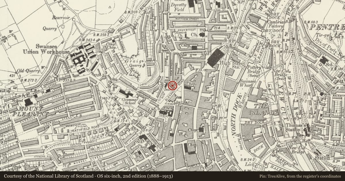
5 historical maps cover this location, the earliest the 1636 map "Cornubia : Devonia, Somersetus, Dorcestria, Wiltonia, Glocestria ..." (David Rumsey Map Collection, Stanford Libraries).
Historical maps covering this location
- 1636 · Cornubia : Devonia, Somersetus, Dorcestria, Wiltonia, Glocestria ... (David Rumsey Map Collection, Stanford Libraries)
- 1637 · The fourth table of England. Cornub. Devonia, Somerset etc. (David Rumsey Map Collection, Stanford Libraries)
- 1865 · England and Wales. England No. 6. (David Rumsey Map Collection, Stanford Libraries)
- 1891 · Sheet 10. Ordnance Survey of England and Wales. . (David Rumsey Map Collection, Stanford Libraries)
- 1897 · 247 Swansea (Hills) (David Rumsey Map Collection, Stanford Libraries)
Cadw's description
Location
Set into slope on corner of Quarry Street.
History
Dated 1885. Architect not known. French Second Empire style.
Exterior
Tall, symmetrical 3 storey and attic, 3 bay front to Alexandra Road, pale stone dressings with red brick facings. Advanced centre bay under segmental pediment supporting elaborate dormer with broken sinuous pediment and finial, bipartite window set against curved and leaded platform roof with ornamental ironwork. Outer pedimented dormers set into hipped slate roof. Dentilled eaves, impost and cill bands, long-and-short quoins, banded rustication to lower storeys of centre bay.
Tripartite window over 2-light traceried 1st floor window to centre bay, paired outer windows; all round-headed with keyblocked architraves, roll-moulded and fluted jambs, carved roundels to 1st floor spandrels. Entablature and part-fluted pilasters to centre doorcase, panelled doors up steps.
Similar treatment to long side elevation stepped uphill in Quarry Street, pedimented frontispiece with offset panelled chimney-stack to dormer, bipartite window over doorway,
7-bay elevation to right.
Reason for designation
Group value.
Nearby in the register
- Glynn Vivian Art GalleryRecreationalunder 1 mi
- Central LibraryRecreationalunder 1 mi
- School of ArtEducationunder 1 mi
- Central Police StationCivilunder 1 mi
Other entries of the same register within about three miles of this one, by straight line.