Cof Cymru: National Historic Assets of Wales · Wales
Ashfield
Bridgend, Bridgend, Wales
A Grade II listed building in Bridgend, designated on 29 September 1986.
The record
- Designation
- Listed building, Grade II
- Broad class
- Domestic
- Date of designation
- 29 September 1986
- Town
- Bridgend
- Community
- Bridgend
- Unitary authority
- Bridgend
- Country
- Wales
- Coordinates
- 51.50248, -3.57913
- Cadw reference
- 11294
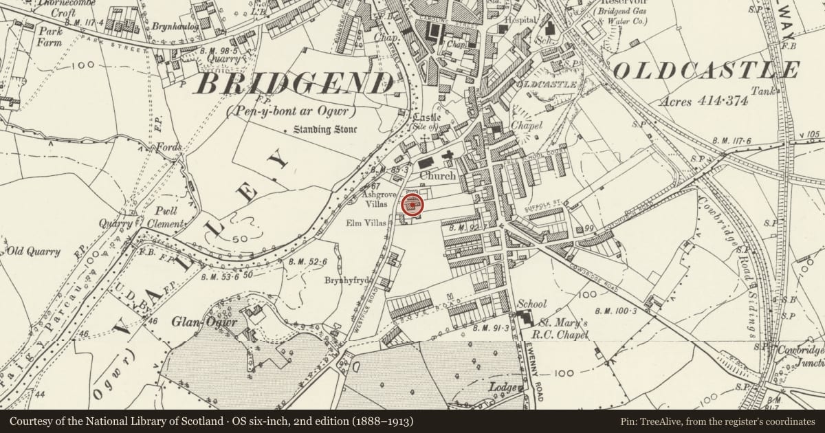
Slide toward Today to fade the historical sheet and see the modern map underneath.
David Rumsey Map Collection, Stanford LibrariesDavid Rumsey Map Collection, Stanford LibrariesDavid Rumsey Map Collection, Stanford LibrariesDavid Rumsey Map Collection, Stanford LibrariesDavid Rumsey Map Collection, Stanford Libraries
5 historical maps cover this location, the earliest the 1636 map "Cornubia : Devonia, Somersetus, Dorcestria, Wiltonia, Glocestria ..." (David Rumsey Map Collection, Stanford Libraries).
Historical maps covering this location
- 1636 · Cornubia : Devonia, Somersetus, Dorcestria, Wiltonia, Glocestria ... (David Rumsey Map Collection, Stanford Libraries)
- 1637 · The fourth table of England. Cornub. Devonia, Somerset etc. (David Rumsey Map Collection, Stanford Libraries)
- 1865 · England and Wales. England No. 6. (David Rumsey Map Collection, Stanford Libraries)
- 1897 · 262 Pontypridd (Hills) (David Rumsey Map Collection, Stanford Libraries)
- 1897 · 262 Pontypridd (Outline) (David Rumsey Map Collection, Stanford Libraries)
Cadw's description
Location
Set back from the road beside the by-pass.
History
Regency hipped roof villa with painted brick and stucco elevations and gable ended eastern extension; black painted brick dressings; slate roofs, brick chimney stacks and wide boarded eaves.
Exterior
2 window front facing Merthyr Mawr Road; cambered heads to casement windows with louvred shutters over veranda, which returns around the 4-window S front, on quatrefoil trellised cast ironwork uprights with Gothic spandrels. Main entrance to asymmetrical 3-window N side with stucco 1st floor; tall semi-circular headed window over later lean-to porch with cambered heads to 6-panel door end coloured glass sash; 2 casement windows to eastern arm. Stucco rear gable end with single storey part rubble storey part rubble surgery extension to E with single verge roof.
Reason for designation
Drive entered between gate piers; garage at E end is not of special interest.
Nearby in the register
- St Mary Nolton ChurchReligious, Ritual and Funeraryunder 1 mi
- Cae CourtCommercialunder 1 mi
- Nolton Tithe BarnAgriculture and Subsistenceunder 1 mi
- RiversdaleDomesticunder 1 mi
Other entries of the same register within about three miles of this one, by straight line.