Cof Cymru: National Historic Assets of Wales · Wales
War Memorial
Bridgend, Bridgend, Wales
A Grade II listed building in Bridgend, designated on 29 September 1986.
The record
- Designation
- Listed building, Grade II
- Broad class
- Commemorative
- Date of designation
- 29 September 1986
- Community
- Bridgend
- Unitary authority
- Bridgend
- Country
- Wales
- Coordinates
- 51.50684, -3.57955
- Cadw reference
- 11273
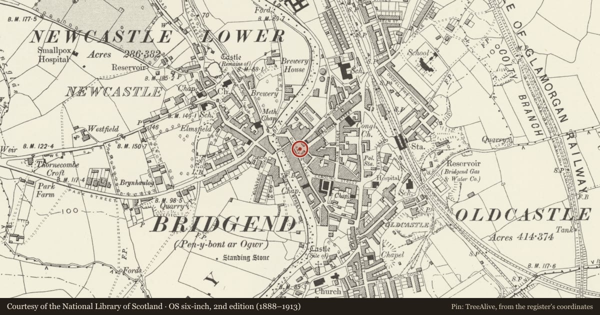
Slide toward Today to fade the historical sheet and see the modern map underneath.
David Rumsey Map Collection, Stanford LibrariesDavid Rumsey Map Collection, Stanford LibrariesDavid Rumsey Map Collection, Stanford LibrariesDavid Rumsey Map Collection, Stanford LibrariesDavid Rumsey Map Collection, Stanford Libraries
5 historical maps cover this location, the earliest the 1636 map "Cornubia : Devonia, Somersetus, Dorcestria, Wiltonia, Glocestria ..." (David Rumsey Map Collection, Stanford Libraries).
Historical maps covering this location
- 1636 · Cornubia : Devonia, Somersetus, Dorcestria, Wiltonia, Glocestria ... (David Rumsey Map Collection, Stanford Libraries)
- 1637 · The fourth table of England. Cornub. Devonia, Somerset etc. (David Rumsey Map Collection, Stanford Libraries)
- 1865 · England and Wales. England No. 6. (David Rumsey Map Collection, Stanford Libraries)
- 1897 · 262 Pontypridd (Hills) (David Rumsey Map Collection, Stanford Libraries)
- 1897 · 262 Pontypridd (Outline) (David Rumsey Map Collection, Stanford Libraries)
Cadw's description
Location
On an island site, enclosed behind iron railings.
History
Unveiled 11 November 1921; designed by Walter Crook and sculpted by Messrs H H Martyn and Co Ltd of Cheltenham.
Exterior
Portland stone. Tapering obelisk with figure of Britannia below emblems of sacrifice and victory. Swept out cornice above channelled square pedestal with shields over copper 1st world war commemorative tablets in architraves. Decorative band below, 2nd World War tablet added; the whole on stepped circular base.
Reason for designation
Group value.
Nearby in the register
- Britannia Building SocietyCommercialunder 1 mi
- Dunraven ArcadeDomesticunder 1 mi
- Astley Samuel LeederCommercialunder 1 mi
- Dunraven ArcadeDomesticunder 1 mi
Other entries of the same register within about three miles of this one, by straight line.