Cof Cymru: National Historic Assets of Wales · Wales
Former Coach House to the Old Police Station
Bridgend, Bridgend, Wales
A Grade II listed building in Bridgend, designated on 8 April 1976.
The record
- Designation
- Listed building, Grade II
- Broad class
- Domestic
- Date of designation
- 8 April 1976
- Town
- Bridgend
- Community
- Bridgend
- Unitary authority
- Bridgend
- Country
- Wales
- Coordinates
- 51.50623, -3.57691
- Cadw reference
- 11271
Slide toward Today to fade the historical sheet and see the modern map underneath.
David Rumsey Map Collection, Stanford LibrariesDavid Rumsey Map Collection, Stanford LibrariesDavid Rumsey Map Collection, Stanford LibrariesDavid Rumsey Map Collection, Stanford LibrariesDavid Rumsey Map Collection, Stanford Libraries
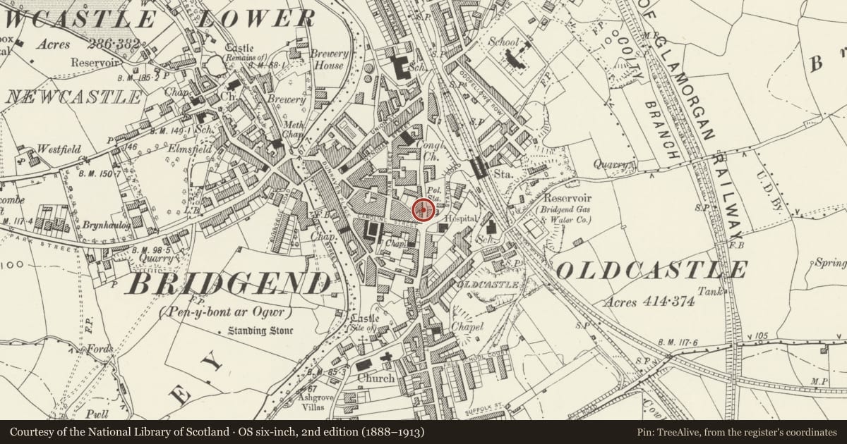
5 historical maps cover this location, the earliest the 1636 map "Cornubia : Devonia, Somersetus, Dorcestria, Wiltonia, Glocestria ..." (David Rumsey Map Collection, Stanford Libraries).
Historical maps covering this location
- 1636 · Cornubia : Devonia, Somersetus, Dorcestria, Wiltonia, Glocestria ... (David Rumsey Map Collection, Stanford Libraries)
- 1637 · The fourth table of England. Cornub. Devonia, Somerset etc. (David Rumsey Map Collection, Stanford Libraries)
- 1865 · England and Wales. England No. 6. (David Rumsey Map Collection, Stanford Libraries)
- 1897 · 262 Pontypridd (Hills) (David Rumsey Map Collection, Stanford Libraries)
- 1897 · 262 Pontypridd (Outline) (David Rumsey Map Collection, Stanford Libraries)
Cadw's description
Location
Adjoining the late Georgian Terrace, opposite the Old Police Station.
History
Built 1890-91.
Exterior
1-storey and attic Victorian Gothic coach house. Bull-nosed rubble with blue brick dressings; steep pitched tiled roof, gable finials missing, octagonal blue brick chimney stack to rear with cap missing. Shouldered opeing with boarded door over broad pointed arch entrance. Structure to right now ruined.
Reason for designation
Included for group value.
Nearby in the register
- Property to right of former Castle HotelCommercialunder 1 mi
- Former Castle HotelCommercialunder 1 mi
- The Old Police StationCivilunder 1 mi
- The Welsh ConnectionCommercialunder 1 mi
Other entries of the same register within about three miles of this one, by straight line.