Cof Cymru: National Historic Assets of Wales · Wales
Telephone Call-box (01550 720559)
Myddfai, Carmarthenshire, Wales
A Grade II listed building in Myddfai, Llandovery, Carmarthenshire, designated on 22 June 1990.
The record
- Designation
- Listed building, Grade II
- Broad class
- Communications
- Date of designation
- 22 June 1990
- Locality
- Myddfai
- Town
- Llandovery
- Community
- Myddfai
- Unitary authority
- Carmarthenshire
- Country
- Wales
- Coordinates
- 51.95577, -3.78774
- Cadw reference
- 11149
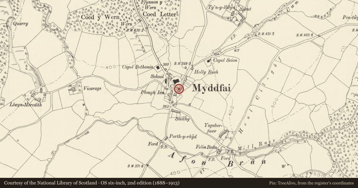
Slide toward Today to fade the historical sheet and see the modern map underneath.
David Rumsey Map Collection, Stanford LibrariesDavid Rumsey Map Collection, Stanford LibrariesDavid Rumsey Map Collection, Stanford LibrariesDavid Rumsey Map Collection, Stanford LibrariesDavid Rumsey Map Collection, Stanford Libraries
5 historical maps cover this location, the earliest the 1860 map "41. Caermathen." (David Rumsey Map Collection, Stanford Libraries).
Historical maps covering this location
- 1860 · 41. Caermathen. (David Rumsey Map Collection, Stanford Libraries)
- 1891 · Sheet 10. Ordnance Survey of England and Wales. . (David Rumsey Map Collection, Stanford Libraries)
- 1898 · 212 Llandovery (Outline) (David Rumsey Map Collection, Stanford Libraries)
- 1898 · 212 Llandovery (Hills) (David Rumsey Map Collection, Stanford Libraries)
- 1901 · Sheet 14. (David Rumsey Map Collection, Stanford Libraries)
Cadw's description
Location
Situated in village, to S of parish church, across road from churchyard wall, and N of Church House.
History
Telephone kiosk of K6 type designed for the General Post Office in 1936 by Sir Giles Gilbert Scott. This one made before 1953 as has George VI crown.
Exterior
Telephone kiosk, red-painted cast-iron with wooden-framed door. Square plan with two glazed sides and matching iron glazing set into door. Glazing is divided by horizontal bars with vertical bars dividing marginal panes. Raised plinth, raised border to glazing. Top stage with rectangular translucent lettered panels under shallow Soaneian square dome with George VI crown in each lunette.
Reason for designation
Included for setting in a well-preserved village centre.
Nearby in the register
- Church HouseDomesticunder 1 mi
- Old Post OfficeDomesticunder 1 mi
- Ger y LanDomesticunder 1 mi
- Churchyard wall, gates and war memorial at Church of St MichaelReligious, Ritual and Funeraryunder 1 mi
Other entries of the same register within about three miles of this one, by straight line.