Cof Cymru: National Historic Assets of Wales · Wales
4 Abbey Terrace
Llandeilo, Carmarthenshire, Wales
A Grade II listed building in Llandeilo, Carmarthenshire, designated on 24 June 1991.
The record
- Designation
- Listed building, Grade II
- Broad class
- Domestic
- Date of designation
- 24 June 1991
- Community
- Llandeilo
- Unitary authority
- Carmarthenshire
- Country
- Wales
- Coordinates
- 51.88255, -3.99208
- Cadw reference
- 11029
Slide toward Today to fade the historical sheet and see the modern map underneath.
David Rumsey Map Collection, Stanford LibrariesDavid Rumsey Map Collection, Stanford LibrariesDavid Rumsey Map Collection, Stanford LibrariesDavid Rumsey Map Collection, Stanford LibrariesDavid Rumsey Map Collection, Stanford Libraries
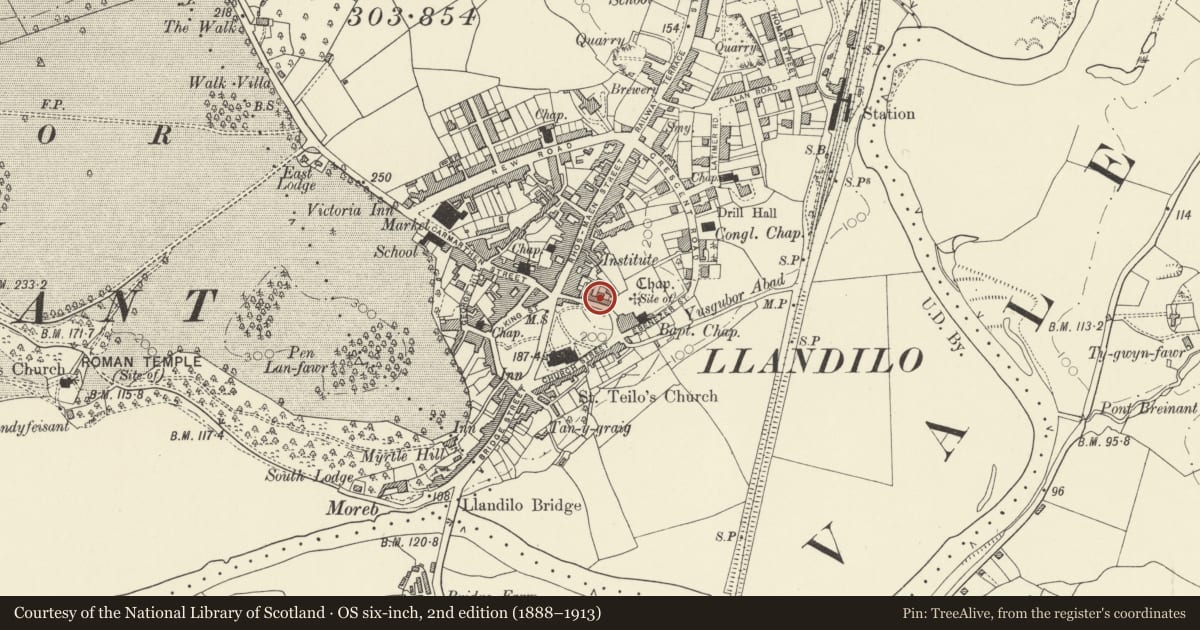
5 historical maps cover this location, the earliest the 1860 map "41. Caermathen." (David Rumsey Map Collection, Stanford Libraries).
Historical maps covering this location
- 1860 · 41. Caermathen. (David Rumsey Map Collection, Stanford Libraries)
- 1891 · Sheet 10. Ordnance Survey of England and Wales. . (David Rumsey Map Collection, Stanford Libraries)
- 1898 · 212 Llandovery (Outline) (David Rumsey Map Collection, Stanford Libraries)
- 1898 · 212 Llandovery (Hills) (David Rumsey Map Collection, Stanford Libraries)
- 1901 · Sheet 14. (David Rumsey Map Collection, Stanford Libraries)
Cadw's description
Location
Facing the churchyard
Exterior
c1830. 2 storey and basement, 3 windows house. Colour washed roughcast on rubble. Moderately pitched slate roof, plain eaves cornice and band. Tall rendered stacks.
Small-pane sash windows; 1st floor band. Central doorcase. Flat corniced hood over sunk panelled round arched architrave. Radial fanlight over panelled door. Slate bridge over narrow area. Basement windows to left and right. Original iron railings with urns to stanchions on dwarf walls.
Reason for designation
Included for group value with No 5
Nearby in the register
- 5 Abbey TerraceDomesticunder 1 mi
- Stretch of Walling & Archways between Nos.5 & 7Domesticunder 1 mi
- The Tuck ShopCommercialunder 1 mi
- Goldsmith, Jewellers, SilversmithsCommercialunder 1 mi
Other entries of the same register within about three miles of this one, by straight line.