Cof Cymru: National Historic Assets of Wales · Wales
Railings and gates to Salem Chapel
Llandovery, Carmarthenshire, Wales
A Grade II listed building in Llandovery, Carmarthenshire, designated on 26 February 1981.
The record
- Designation
- Listed building, Grade II
- Broad class
- Religious, Ritual and Funerary
- Date of designation
- 26 February 1981
- Community
- Llandovery
- Unitary authority
- Carmarthenshire
- Country
- Wales
- Coordinates
- 51.99497, -3.79466
- Cadw reference
- 11016
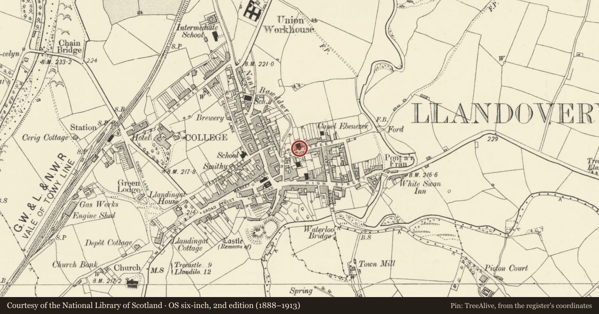
Slide toward Today to fade the historical sheet and see the modern map underneath.
David Rumsey Map Collection, Stanford LibrariesDavid Rumsey Map Collection, Stanford LibrariesDavid Rumsey Map Collection, Stanford LibrariesDavid Rumsey Map Collection, Stanford LibrariesDavid Rumsey Map Collection, Stanford Libraries
5 historical maps cover this location, the earliest the 1860 map "41. Caermathen." (David Rumsey Map Collection, Stanford Libraries).
Historical maps covering this location
- 1860 · 41. Caermathen. (David Rumsey Map Collection, Stanford Libraries)
- 1891 · Sheet 10. Ordnance Survey of England and Wales. . (David Rumsey Map Collection, Stanford Libraries)
- 1898 · 212 Llandovery (Outline) (David Rumsey Map Collection, Stanford Libraries)
- 1898 · 212 Llandovery (Hills) (David Rumsey Map Collection, Stanford Libraries)
- 1901 · Sheet 14. (David Rumsey Map Collection, Stanford Libraries)
Cadw's description
Location
Situated in front of narrow forecourt to chapel.
History
Railings and gates to narrow forecourt, probably mid to later C19. The chapel was built in 1829 altered in 1849 and in 1870s.
Exterior
Railings to stone flagged forecourt on low rock-faced coping stones. Railings have bottom and top rails and lance heads, larger to stanchions which have scrolled supports. Two gateways with matching gates with dog-bars between panelled cast-iron piers with coved corniced caps.
Reason for designation
Included as good C19 ironwork, of group value with the chapel.
Nearby in the register
- Salem Independent ChapelReligious, Ritual and Funeraryunder 1 mi
- 4 Queen StreetDomesticunder 1 mi
- Entrance gates with vestry to Tabernacle ChapelReligious, Ritual and Funeraryunder 1 mi
- Tabernacle ChapelReligious, Ritual and Funeraryunder 1 mi
Other entries of the same register within about three miles of this one, by straight line.