Cof Cymru: National Historic Assets of Wales · Wales
Cockpit to W of Plas Taliaris
Manordeilo and Salem, Carmarthenshire, Wales
A Grade II listed building in Manordeilo and Salem, Carmarthenshire, designated on 8 July 1966.
The record
- Designation
- Listed building, Grade II
- Broad class
- Recreational
- Date of designation
- 8 July 1966
- Community
- Manordeilo and Salem
- Unitary authority
- Carmarthenshire
- Country
- Wales
- Coordinates
- 51.93378, -3.97978
- Cadw reference
- 10912
Slide toward Today to fade the historical sheet and see the modern map underneath.
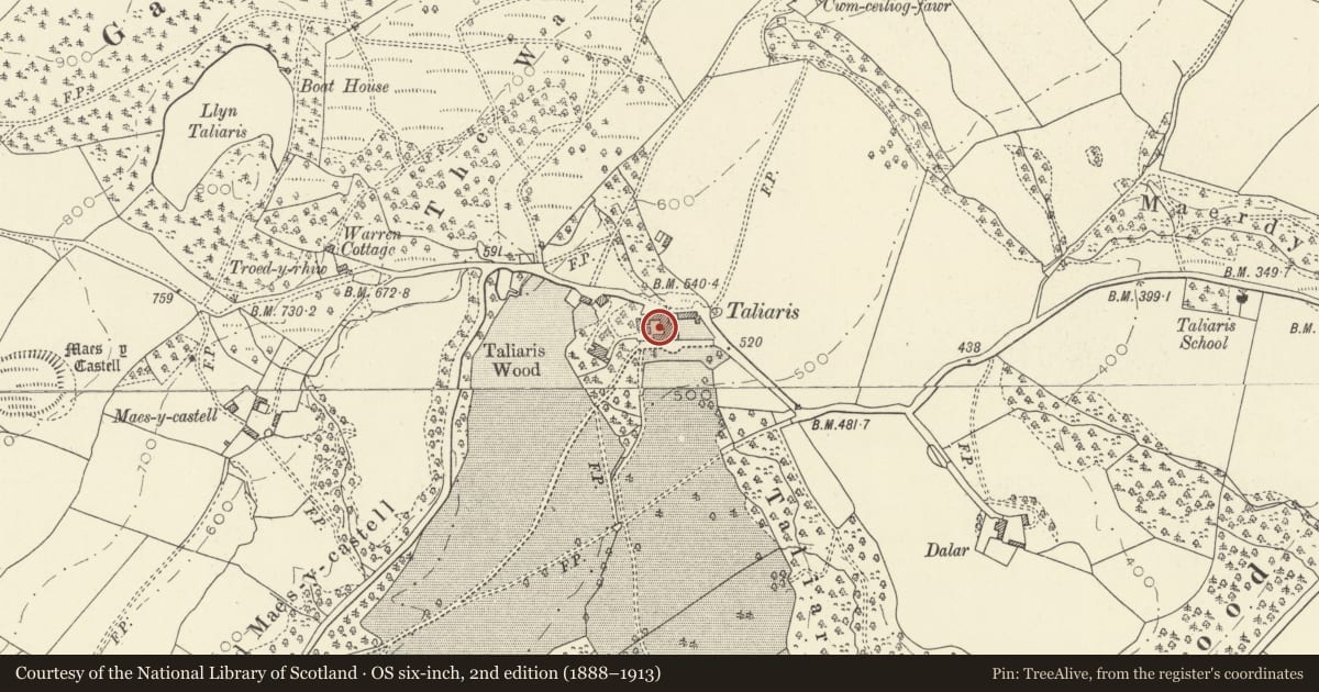
David Rumsey Map Collection, Stanford LibrariesDavid Rumsey Map Collection, Stanford LibrariesDavid Rumsey Map Collection, Stanford LibrariesDavid Rumsey Map Collection, Stanford LibrariesDavid Rumsey Map Collection, Stanford Libraries
5 historical maps cover this location, the earliest the 1860 map "41. Caermathen." (David Rumsey Map Collection, Stanford Libraries).
Historical maps covering this location
- 1860 · 41. Caermathen. (David Rumsey Map Collection, Stanford Libraries)
- 1891 · Sheet 10. Ordnance Survey of England and Wales. . (David Rumsey Map Collection, Stanford Libraries)
- 1898 · 212 Llandovery (Outline) (David Rumsey Map Collection, Stanford Libraries)
- 1898 · 212 Llandovery (Hills) (David Rumsey Map Collection, Stanford Libraries)
- 1901 · Sheet 14. (David Rumsey Map Collection, Stanford Libraries)
Cadw's description
Location
Situated in courtyard just W of mansion.
History
C18 base wall of a cockpit, formerly built higher in stone with pyramid slate roof as C19 game-larder (cf 1966 list description), that superstructure since removed.
Exterior
Rubble stone, some 1.5m high, octagonal with blocked pointed arched opening on NW side, presumably for birds. Openings on N and S. Inner walls are thickened on diagonal faces.
Reason for designation
An unusual survival, an old photograph shows it as stone with small louvred openings under eaves on diagonal faces and raised louvred door on S side.
Nearby in the register
- Plas TaliarisDomesticunder 1 mi
- Taliaris LodgeDomesticunder 1 mi
- Maes y CastellHillfortunder 1 mi
- Maerdy FarmhouseDomesticunder 1 mi
Other entries of the same register within about three miles of this one, by straight line.