Cof Cymru: National Historic Assets of Wales · Wales
Lamp Standard (at the Y junction of Green Lane and Abbey Road)
Llangollen, Denbighshire, Wales
A Grade II listed building in Llangollen, Denbighshire, designated on 22 December 1989.
The record
- Designation
- Listed building, Grade II
- Broad class
- Gardens, Parks and Urban Spaces
- Date of designation
- 22 December 1989
- Locality
- Llangollen
- Community
- Llangollen
- Unitary authority
- Denbighshire
- Country
- Wales
- Coordinates
- 52.97159, -3.17156
- Cadw reference
- 1090
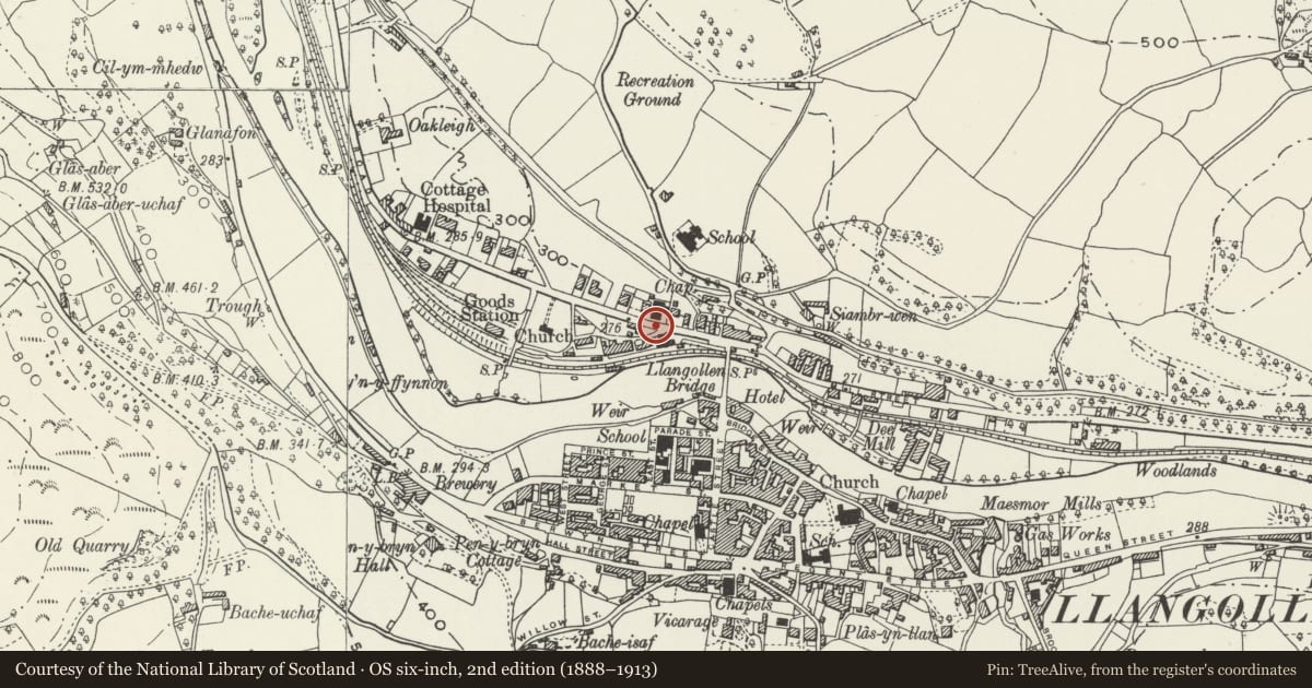
Slide toward Today to fade the historical sheet and see the modern map underneath.
David Rumsey Map Collection, Stanford LibrariesDavid Rumsey Map Collection, Stanford LibrariesDavid Rumsey Map Collection, Stanford LibrariesDavid Rumsey Map Collection, Stanford LibrariesLlyfrgell Genedlaethol Cymru – The National Library of Wales
5 historical maps cover this location, the earliest the 1795 map "To Sir Watkin Williams-Wynn Bart ... the map of the six counties of North Wales is most humbly inscribed by his obedient humble servant" (Llyfrgell Genedlaethol Cymru – The National Library of Wales).
Historical maps covering this location
- 1795 · To Sir Watkin Williams-Wynn Bart ... the map of the six counties of North Wales is most… (Llyfrgell Genedlaethol Cymru – The National Library of Wales)
- 1883 · Watershed map England, Wales 3. (David Rumsey Map Collection, Stanford Libraries)
- 1898 · 121 Wrexham (Hills) (David Rumsey Map Collection, Stanford Libraries)
- 1898 · 121 Wrexham (Outline) (David Rumsey Map Collection, Stanford Libraries)
- 1901 · Sheet 9 and 10. (David Rumsey Map Collection, Stanford Libraries)
Cadw's description
Location
Beside the gated entry to Green Lodge and at the corner of the Y-road junction.
History
Probably late C19 circular lampstandard with tall stem.
Exterior
Petalled cap with curved bracket formerly with gas lamp - now modern light; smaller bracket lower down.
No foundry plate visible.
Reason for designation
Included for group value with Green Lodge, Dee Bank and the Railway Station.
Nearby in the register
- Railway Station (Main Building & Footbridge)Transportunder 1 mi
- Dee BankDomesticunder 1 mi
- Green LodgeDomesticunder 1 mi
- NeuaddDomesticunder 1 mi
Other entries of the same register within about three miles of this one, by straight line.