Cof Cymru: National Historic Assets of Wales · Wales
War Memorial
Aberdare East, Rhondda Cynon Taff, Wales
A Grade II listed building in Aberdare East, Rhondda Cynon Taff, designated on 10 January 1991.
The record
- Designation
- Listed building, Grade II
- Broad class
- Commemorative
- Date of designation
- 10 January 1991
- Community
- Aberdare East
- Unitary authority
- Rhondda Cynon Taff
- Country
- Wales
- Coordinates
- 51.71305, -3.44419
- Cadw reference
- 10862
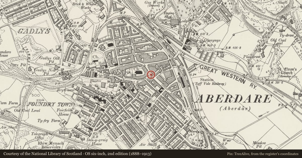
Slide toward Today to fade the historical sheet and see the modern map underneath.
David Rumsey Map Collection, Stanford LibrariesDavid Rumsey Map Collection, Stanford LibrariesDavid Rumsey Map Collection, Stanford LibrariesDavid Rumsey Map Collection, Stanford LibrariesDavid Rumsey Map Collection, Stanford Libraries
5 historical maps cover this location, the earliest the 1636 map "Cornubia : Devonia, Somersetus, Dorcestria, Wiltonia, Glocestria ..." (David Rumsey Map Collection, Stanford Libraries).
Historical maps covering this location
- 1636 · Cornubia : Devonia, Somersetus, Dorcestria, Wiltonia, Glocestria ... (David Rumsey Map Collection, Stanford Libraries)
- 1637 · The fourth table of England. Cornub. Devonia, Somerset etc. (David Rumsey Map Collection, Stanford Libraries)
- 1865 · England and Wales. England No. 6. (David Rumsey Map Collection, Stanford Libraries)
- 1895 · Sheet 11. Ordnance Survey of England and Wales. (David Rumsey Map Collection, Stanford Libraries)
- 1898 · 231 Merthyr Tydfil (Hills) (David Rumsey Map Collection, Stanford Libraries)
Cadw's description
Location
At the NE, lower, end of Victoria Square at the junction with Cardiff Road; on an island site where the Victoria Monument formerly stood.
History
Erected in l922. Cenotaph type war memorial constructed in Dalbeattie granite; 6m high; cost £200.
Exterior
On wide stepped platform; tapered towards the top. Shallow stepped capital and parapet; wreath to NE side. Gold lettering commemorating the fallen of both World Wars written in Welsh and English.
Reason for designation
Group value.
Nearby in the register
- Caradog Arms HotelCommercialunder 1 mi
- Radio RentalsCommercialunder 1 mi
- Pillar Box on Pavement outside Nos. 60 & 62Communicationsunder 1 mi
- St Elvan's ChurchReligious, Ritual and Funeraryunder 1 mi
Other entries of the same register within about three miles of this one, by straight line.