Cof Cymru: National Historic Assets of Wales · Wales
Fairholm
New Quay, Ceredigion, Wales
A Grade II listed building in New Quay, Ceredigion, designated on 31 January 1994.
The record
- Designation
- Listed building, Grade II
- Broad class
- Domestic
- Date of designation
- 31 January 1994
- Locality
- New Quay
- Community
- New Quay
- Unitary authority
- Ceredigion
- Country
- Wales
- Coordinates
- 52.21683, -4.36122
- Cadw reference
- 10811
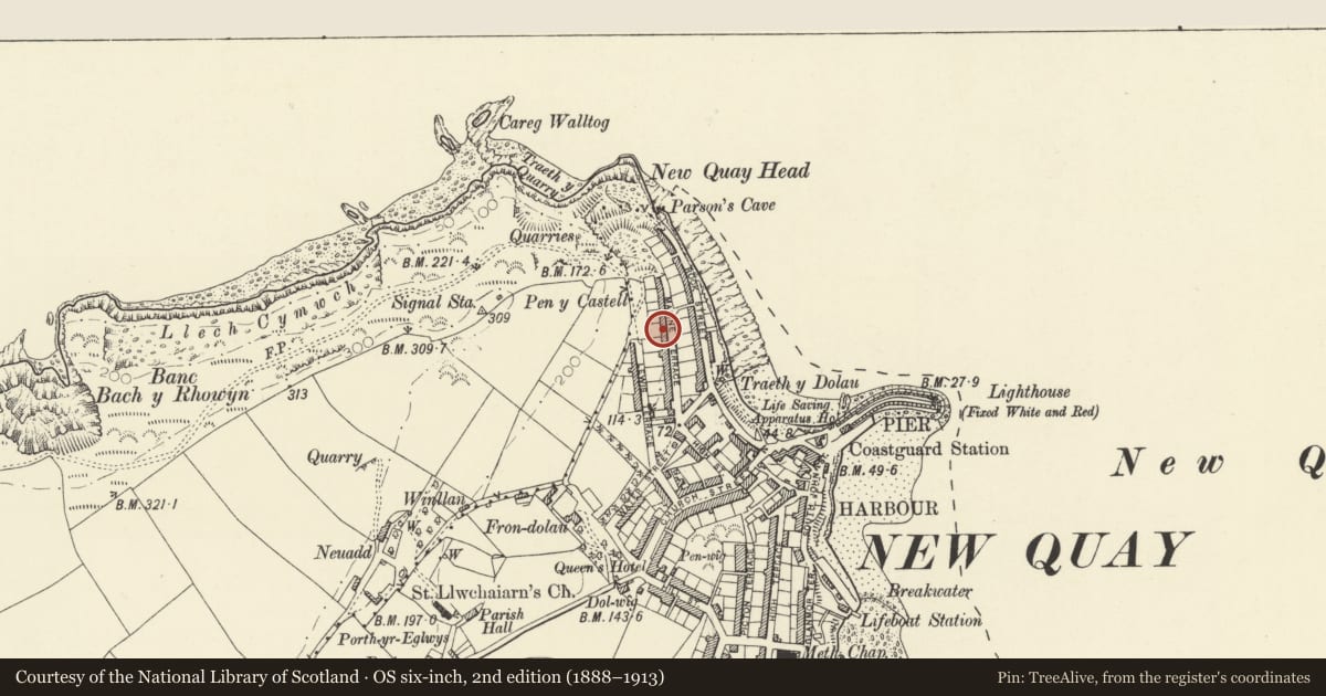
Slide toward Today to fade the historical sheet and see the modern map underneath.
David Rumsey Map Collection, Stanford LibrariesDavid Rumsey Map Collection, Stanford LibrariesDavid Rumsey Map Collection, Stanford LibrariesDavid Rumsey Map Collection, Stanford LibrariesDavid Rumsey Map Collection, Stanford Libraries
5 historical maps cover this location, the earliest the 1608 map "(13) Cambriae Typus." (David Rumsey Map Collection, Stanford Libraries).
Historical maps covering this location
- 1608 · (13) Cambriae Typus. (David Rumsey Map Collection, Stanford Libraries)
- 1830 · V.3:11-15:XV. Britisches Reich. A. Kon: England. b. Frstenthum Wales: Shire: 37-40 (David Rumsey Map Collection, Stanford Libraries)
- 1848 · 57. Tregaron, SW Quad. (David Rumsey Map Collection, Stanford Libraries)
- 1901 · Sheet 14. (David Rumsey Map Collection, Stanford Libraries)
- 1919 · Sheet 78. Lampeter. (David Rumsey Map Collection, Stanford Libraries)
Cadw's description
Location
Situated towards middle of Marine Terrace, stepped up from No 9 and down from No 11 (which has much altered windows).
History
Mid C19.
Exterior
Terraced house in painted roughcast and stucco with slate roof and bracket eaves. Stone end stacks. Two-storey three-window range of original hornless 12-pane sashes and original 5-panel door with overlight and panelled reveals in timber corniced doorcase, similar to that on No 9. Plain stucco window surrounds with keystones. Panelled shutters to ground floor right room.
Reason for designation
Listed as one of the least altered houses in the row, of which the first seven, probably Nos 3 to 9 (consec) were built before 1847 and are marked on 1847 Tithe Map. This one is in identical style and presumably also built c1847.
Group value.
Nearby in the register
- 9 Marine TerraceDomesticunder 1 mi
- Zenobia including garden railingsDomesticunder 1 mi
- No 7 including Garden railingsDomesticunder 1 mi
- Loch ShielDomesticunder 1 mi
Other entries of the same register within about three miles of this one, by straight line.