Cof Cymru: National Historic Assets of Wales · Wales
Brechfa
Llansantffraed, Ceredigion, Wales
A Grade II listed building in Llanon, Llansantffraed, Ceredigion, designated on 31 October 1977.
The record
- Designation
- Listed building, Grade II
- Broad class
- Domestic
- Date of designation
- 31 October 1977
- Locality
- Llanon
- Community
- Llansantffraed
- Unitary authority
- Ceredigion
- Country
- Wales
- Coordinates
- 52.28392, -4.17490
- Cadw reference
- 10690
Slide toward Today to fade the historical sheet and see the modern map underneath.
David Rumsey Map Collection, Stanford LibrariesDavid Rumsey Map Collection, Stanford LibrariesDavid Rumsey Map Collection, Stanford LibrariesDavid Rumsey Map Collection, Stanford LibrariesDavid Rumsey Map Collection, Stanford Libraries
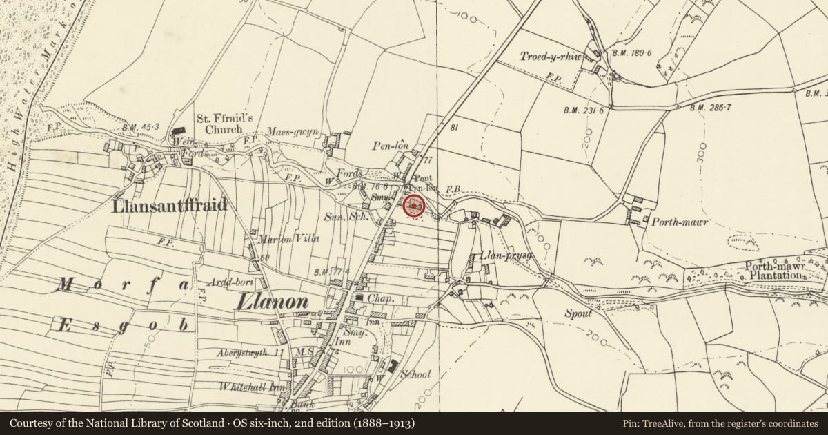
5 historical maps cover this location, the earliest the 1608 map "(13) Cambriae Typus." (David Rumsey Map Collection, Stanford Libraries).
Historical maps covering this location
- 1608 · (13) Cambriae Typus. (David Rumsey Map Collection, Stanford Libraries)
- 1830 · V.3:11-15:XV. Britisches Reich. A. Kon: England. b. Frstenthum Wales: Shire: 37-40 (David Rumsey Map Collection, Stanford Libraries)
- 1896 · Sheet 7. Ordnance Survey of England and Wales. (David Rumsey Map Collection, Stanford Libraries)
- 1901 · Sheet 14. (David Rumsey Map Collection, Stanford Libraries)
- 1919 · Sheet 78. Lampeter. (David Rumsey Map Collection, Stanford Libraries)
Cadw's description
Location
Situated towards the NE end of Llanon some 50m SE of the A487 and approached through a small field.
History
Pair of single storey cottages, probably early C19, with later two-storey section to left. Now one house.
Exterior
Rubble stone with slate roofs. Taller left section is 2-window, offset to right, with end stone stacks, 12-pane sashes and door with overlight. Stone voussoirs. Two cottages are both double-fronted with 16-pane tilting windows and centre doors. Stone voussoirs. Ridge stack and right end stack. Lean-to on right end wall.
Interior
Left end 2-storey section has boarding within entry with pencil graffiti probably late C19. Left cottage has left end lath-and-plaster chimney hood on thin cross beam. Centre passage is cobbled. There is no internal sign of fireplaces for the centre ridge stack.
Reason for designation
Listed as a good vernacular cottage row of scarce regional type, still with fireplace hood and cobbled floor within.
Nearby in the register
- GlandwrDomesticunder 1 mi
- WerndegDomesticunder 1 mi
- MaesllynDomesticunder 1 mi
- BarbaraDomesticunder 1 mi
Other entries of the same register within about three miles of this one, by straight line.