Cof Cymru: National Historic Assets of Wales · Wales
Gates & Gatepiers to Churchyard of Church of St Mary
Cardigan, Ceredigion, Wales
A Grade II listed building in Cardigan, Ceredigion, designated on 14 April 1992.
The record
- Designation
- Listed building, Grade II
- Broad class
- Religious, Ritual and Funerary
- Date of designation
- 14 April 1992
- Community
- Cardigan
- Unitary authority
- Ceredigion
- Country
- Wales
- Coordinates
- 52.08254, -4.65708
- Cadw reference
- 10477
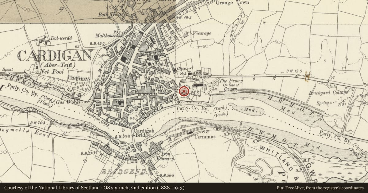
Slide toward Today to fade the historical sheet and see the modern map underneath.
David Rumsey Map Collection, Stanford LibrariesDavid Rumsey Map Collection, Stanford LibrariesDavid Rumsey Map Collection, Stanford LibrariesDavid Rumsey Map Collection, Stanford LibrariesDavid Rumsey Map Collection, Stanford Libraries
5 historical maps cover this location, the earliest the 1608 map "(13) Cambriae Typus." (David Rumsey Map Collection, Stanford Libraries).
Historical maps covering this location
- 1608 · (13) Cambriae Typus. (David Rumsey Map Collection, Stanford Libraries)
- 1637 · Particular description of Wales. Cambria seu Wallia (David Rumsey Map Collection, Stanford Libraries)
- 1830 · V.3:11-15:XV. Britisches Reich. A. Kon: England. b. Frstenthum Wales: Shire: 37-40 (David Rumsey Map Collection, Stanford Libraries)
- 1898 · 193 Cardigan (Hills) (David Rumsey Map Collection, Stanford Libraries)
- 1901 · Sheet 13. (David Rumsey Map Collection, Stanford Libraries)
Cadw's description
Location
Situated at east end of Church Street, giving access to south west corner of churchyard.
History
Early C19. Marked on 1834 map.
Exterior
Tall gatepiers in blue lias ashlar, corniced with stepped caps and cast-iron urns. Piers are panelled. Iron gates with top rails ramped down, quatrefoil middle rail and dog-bars.
Similar to entrance gatepiers to Castle Green House.
Reason for designation
Group value.
Nearby in the register
- Imperial HouseDomesticunder 1 mi
- Parish Church of St MaryReligious, Ritual and Funeraryunder 1 mi
- 22 St Marys StreetDomesticunder 1 mi
- 21 St Marys StreetDomesticunder 1 mi
Other entries of the same register within about three miles of this one, by straight line.