Cof Cymru: National Historic Assets of Wales · Wales
59 Marine Terrace
Aberystwyth, Ceredigion, Wales
A Grade II listed building in Aberystwyth, Ceredigion, designated on 24 November 1987.
The record
- Designation
- Listed building, Grade II
- Broad class
- Domestic
- Date of designation
- 24 November 1987
- Community
- Aberystwyth
- Unitary authority
- Ceredigion
- Country
- Wales
- Coordinates
- 52.41923, -4.08427
- Cadw reference
- 10297
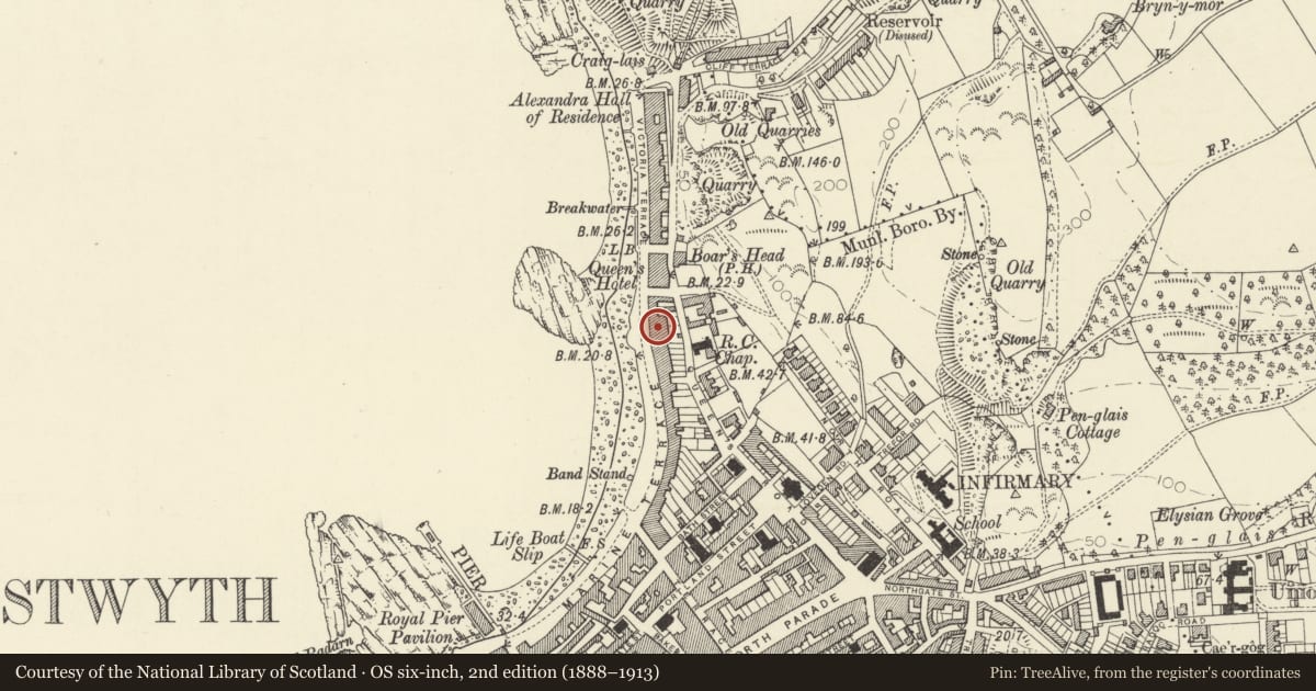
Slide toward Today to fade the historical sheet and see the modern map underneath.
David Rumsey Map Collection, Stanford LibrariesDavid Rumsey Map Collection, Stanford LibrariesDavid Rumsey Map Collection, Stanford LibrariesDavid Rumsey Map Collection, Stanford LibrariesDavid Rumsey Map Collection, Stanford Libraries
5 historical maps cover this location, the earliest the 1830 map "V.3:11-15:XV. Britisches Reich. A. Kon: England. b. Frstenthum Wales: Shire: 37-40" (David Rumsey Map Collection, Stanford Libraries).
Historical maps covering this location
- 1830 · V.3:11-15:XV. Britisches Reich. A. Kon: England. b. Frstenthum Wales: Shire: 37-40 (David Rumsey Map Collection, Stanford Libraries)
- 1883 · Watershed map England, Wales 3. (David Rumsey Map Collection, Stanford Libraries)
- 1896 · Sheet 7. Ordnance Survey of England and Wales. (David Rumsey Map Collection, Stanford Libraries)
- 1899 · 163 Aberystwyth (Hills) (David Rumsey Map Collection, Stanford Libraries)
- 1901 · Sheet 14. (David Rumsey Map Collection, Stanford Libraries)
Cadw's description
Location
Short terrace at the N end of Marine Terrace.
History
Ca 1868.
Exterior
Victorian terrace stylistically similar to the late Georgian Promenade. 4-storey, 2-window uniform stucco, roughcast and cement render frontages with channelled ground floors and plinths. Slate roofs, stock brick chimney stacks and wide bracket eaves. Mainly horned sash windows; Nos 58 and 60 to 62 have ornamented architraves to 1st floor, plain architrave to No 57; modern window to upper floors of No 59. Later half-glazed porches to Nos 57 and 59. Some small pane sashes to rubble rear.
Reason for designation
Included for group value.
Nearby in the register
- 58 Marine TerraceDomesticunder 1 mi
- 60 Marine TerraceDomesticunder 1 mi
- 57 Marine TerraceDomesticunder 1 mi
- 61 Marine TerraceDomesticunder 1 mi
Other entries of the same register within about three miles of this one, by straight line.