Historic Buildings Record · Northern Ireland
207-215 Donegall Street
Belfast, Northern Ireland
The record
- Designation
- Record only (not listed)
- Grade
- Record Only
- Type
- No type recorded
- Address
- 207-215 Donegall Street, Belfast, Co. Antrim, BT1 2FL, ***See General Comments***
- Council
- Belfast
- Country
- Northern Ireland
- Coordinates
- 54.60553, -5.93213
- Date of survey
- 15 March 2013
- HB reference
- HB26/50/086
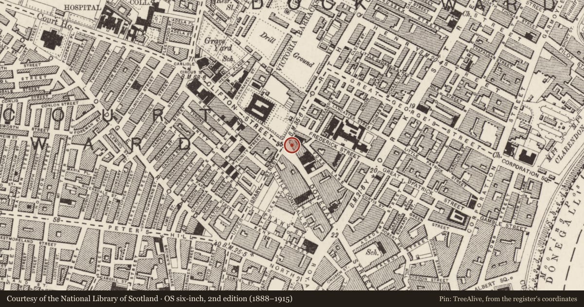
Slide toward Today to fade the historical sheet and see the modern map underneath.
David Rumsey Map Collection, Stanford LibrariesDavid Rumsey Map Collection, Stanford LibrariesDavid Rumsey Map Collection, Stanford LibrariesDavid Rumsey Map Collection, Stanford Libraries
4 historical maps cover this location, the earliest the 1636 map "Vltoniae Orientalis Pars" (David Rumsey Map Collection, Stanford Libraries).
Historical maps covering this location
- 1636 · Vltoniae Orientalis Pars (David Rumsey Map Collection, Stanford Libraries)
- 1811 · Ireland. (David Rumsey Map Collection, Stanford Libraries)
- 1841 · Ireland. (David Rumsey Map Collection, Stanford Libraries)
- 1891 · Ireland 16 (David Rumsey Map Collection, Stanford Libraries)
The Department's description
Exterior description and setting
The First Survey records a block of four three-storey brick terraced houses, each three windows wide with the door to the north. Built in 1792. Window openings are flat arched; doors are round arched with rendered pilasters and architraves. Windows are 2 pane sashes. Two ground floors have modern shopfronts, one is rendered. The buildings have been refurbished, the modern shopfronts have been replaced to match original door and windows; all windows have been replaced with 12 pane sashes.
Historical information
N/A
Criteria for listing: architectural interest
Not listed
Criteria for listing: historic interest
Not listed
Evaluation
Block of four three-storey brick terraced houses, each three windows wide with the door to the north. Built in 1792. The buildings have been refurbished, with the loss of much historic fabric and detailing. While of local interest, it is not among the best examples of the type and has been compromised by extensive renovations that have reduced its architectural and historic interest.
General comments
Partial Survey Only.
Nearby in the register
- 205 Donegall StreetHouseunder 1 mi
- 203 Donegall StreetHouseunder 1 mi
- 1 North Queen StreetNo type recordedunder 1 mi
- 201 Donegall StreetHouseunder 1 mi
Other entries of the same register within about three miles of this one, by straight line.