Historic Buildings Record · Northern Ireland
Duke of York
Belfast, Northern Ireland
The record
- Designation
- Record only (not listed)
- Grade
- Record Only
- Type
- No type recorded
- Address
- Duke of York, Commercial Court, Belfast, Co. Antrim, BT1 2NB, ***See General Comments***
- Council
- Belfast
- Country
- Northern Ireland
- Coordinates
- 54.60168, -5.92753
- Date of survey
- 23 April 2013
- HB reference
- HB26/50/082
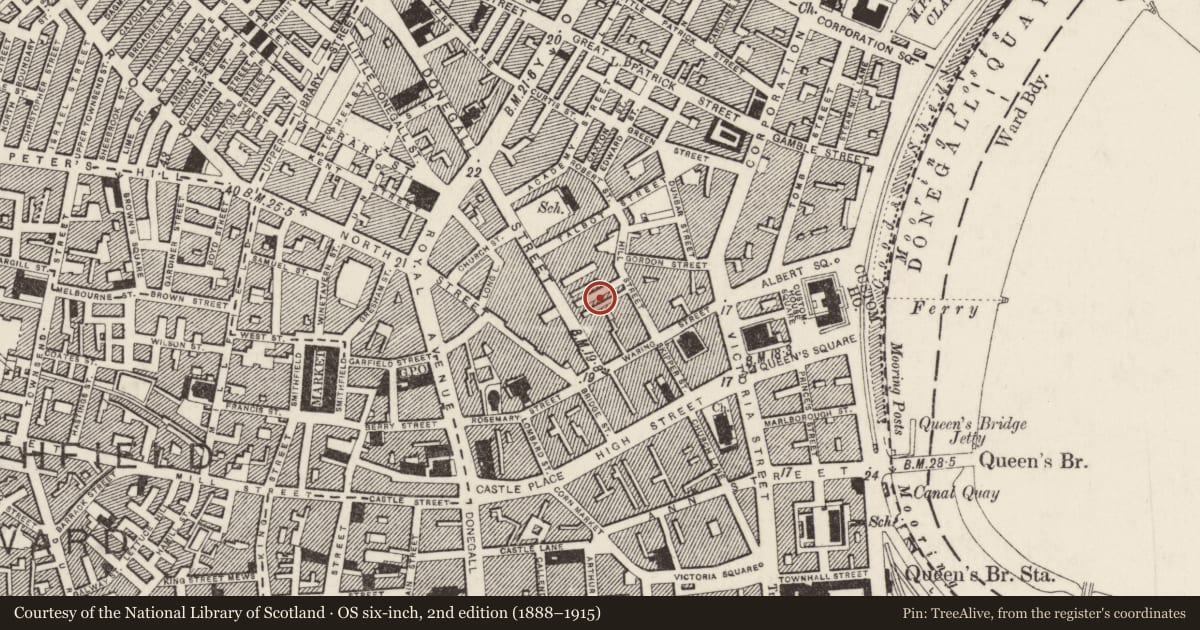
Slide toward Today to fade the historical sheet and see the modern map underneath.
David Rumsey Map Collection, Stanford LibrariesDavid Rumsey Map Collection, Stanford LibrariesDavid Rumsey Map Collection, Stanford LibrariesDavid Rumsey Map Collection, Stanford Libraries
4 historical maps cover this location, the earliest the 1636 map "Vltoniae Orientalis Pars" (David Rumsey Map Collection, Stanford Libraries).
Historical maps covering this location
- 1636 · Vltoniae Orientalis Pars (David Rumsey Map Collection, Stanford Libraries)
- 1811 · Ireland. (David Rumsey Map Collection, Stanford Libraries)
- 1841 · Ireland. (David Rumsey Map Collection, Stanford Libraries)
- 1891 · Ireland 16 (David Rumsey Map Collection, Stanford Libraries)
The Department's description
Exterior description and setting
1800-1837 three storey public house. Rendered to lower floors, brick to second floor. Window openings have been enlarged and windows replaced.
Historical information
N/A
Criteria for listing: architectural interest
Not listed
Criteria for listing: historic interest
Not listed
Evaluation
1800-1837 three storey public house. Much altered and of no special architectural or historic interest.
General comments
Partial Survey Only.
Nearby in the register
- Commercial CourtNo type recordedunder 1 mi
- 18-22 Hill StreetOfficeunder 1 mi
- 11-19 Donegall Street, Belfast, Co. Antrim BT1 2FFNo type recordedunder 1 mi
- Waterman HouseOfficeunder 1 mi
Other entries of the same register within about three miles of this one, by straight line.