Historic Buildings Record · Northern Ireland
Crumlin Road Methodist Church
Belfast, Northern Ireland
The record
- Designation
- Record only (not listed)
- Grade
- Record Only
- Type
- No type recorded
- Address
- Crumlin Road Methodist Church, Tennent Street, Belfast, Co. Antrim, BT15, ***See General Comments***
- Council
- Belfast
- Country
- Northern Ireland
- Coordinates
- 54.60967, -5.95359
- Date of survey
- 07 March 2013
- HB reference
- HB26/36/004
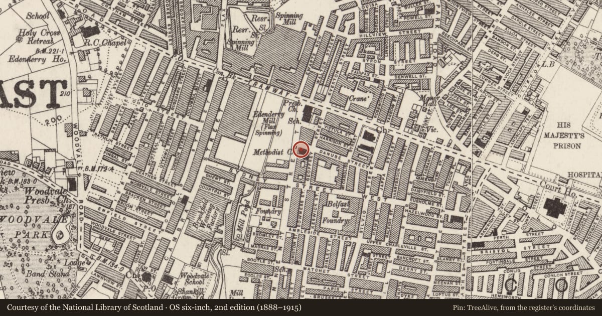
Slide toward Today to fade the historical sheet and see the modern map underneath.
David Rumsey Map Collection, Stanford LibrariesDavid Rumsey Map Collection, Stanford LibrariesDavid Rumsey Map Collection, Stanford LibrariesDavid Rumsey Map Collection, Stanford Libraries
4 historical maps cover this location, the earliest the 1636 map "Vltoniae Orientalis Pars" (David Rumsey Map Collection, Stanford Libraries).
Historical maps covering this location
- 1636 · Vltoniae Orientalis Pars (David Rumsey Map Collection, Stanford Libraries)
- 1811 · Ireland. (David Rumsey Map Collection, Stanford Libraries)
- 1841 · Ireland. (David Rumsey Map Collection, Stanford Libraries)
- 1891 · Ireland 16 (David Rumsey Map Collection, Stanford Libraries)
The Department's description
Exterior description and setting
Red brick, two storey Neo-Classical church. Symmetrical entrance elevation has pedimented gable flanked by curved walls to spiral stairs; double arched entrance doorways with paired arched windows over. Building now demolished for area of housing.
Historical information
N/A
Criteria for listing: architectural interest
Not listed
Criteria for listing: historic interest
Not listed
Evaluation
Red brick, two storey Neo-Classical church. Building now demolished for area of housing.
General comments
Partial Survey Only.
Nearby in the register
- Edenbrooke Primary SchoolSchoolunder 1 mi
- 276 Tennent StreetHouseunder 1 mi
- North Belfast Working Men's ClubRecreational Clubunder 1 mi
- 278 Tennent StreetHouseunder 1 mi
Other entries of the same register within about three miles of this one, by straight line.