Historic Buildings Record · Northern Ireland
St Luke’s Church of Ireland
Belfast, Northern Ireland
The record
- Designation
- Record only (not listed)
- Grade
- Record Only
- Type
- No type recorded
- Address
- St Luke’s Church of Ireland, Northumberland Street, Belfast, Co. Antrim, BT13 2JF, ***See General Comments***
- Council
- Belfast
- Country
- Northern Ireland
- Coordinates
- 54.60201, -5.94670
- Date of survey
- 07 March 2013
- HB reference
- HB26/35/005
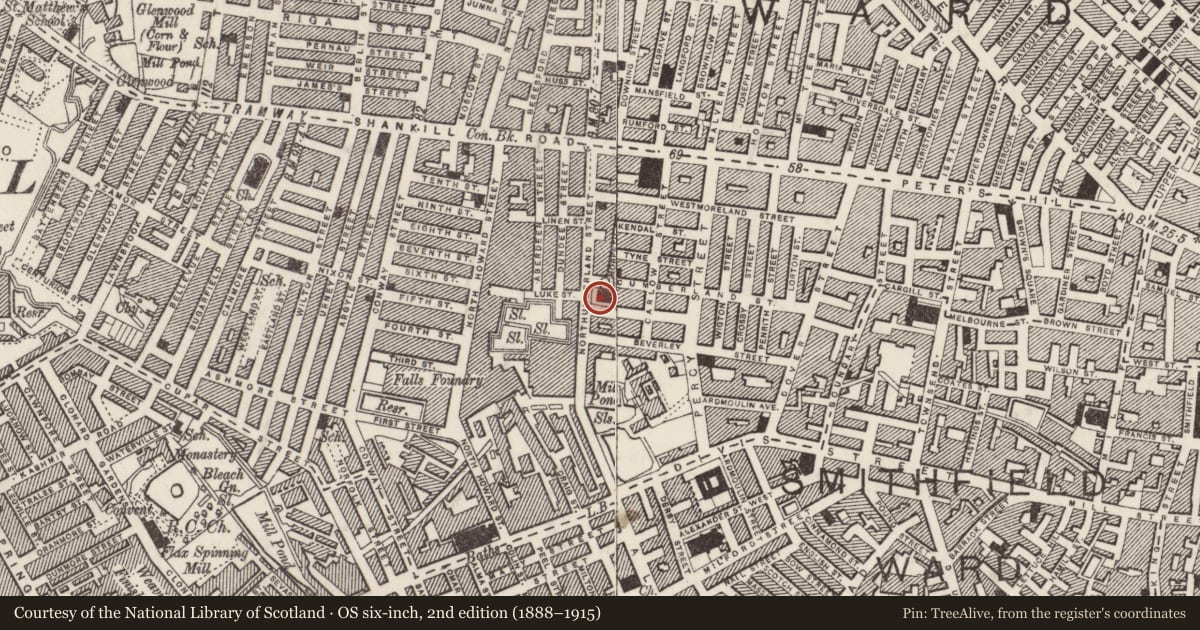
Slide toward Today to fade the historical sheet and see the modern map underneath.
David Rumsey Map Collection, Stanford LibrariesDavid Rumsey Map Collection, Stanford LibrariesDavid Rumsey Map Collection, Stanford LibrariesDavid Rumsey Map Collection, Stanford Libraries
4 historical maps cover this location, the earliest the 1636 map "Vltoniae Orientalis Pars" (David Rumsey Map Collection, Stanford Libraries).
Historical maps covering this location
- 1636 · Vltoniae Orientalis Pars (David Rumsey Map Collection, Stanford Libraries)
- 1811 · Ireland. (David Rumsey Map Collection, Stanford Libraries)
- 1841 · Ireland. (David Rumsey Map Collection, Stanford Libraries)
- 1891 · Ireland 16 (David Rumsey Map Collection, Stanford Libraries)
The Department's description
Exterior description and setting
Gothic Revival church consecrated in 1863. Slate roof, roughly cut dark stone with dressed stone quoins and window surrounds. Simple pitched roof with square tower to front, north corner. Gabled west entrance elevation has mullioned window over double arched doorway.
Historical information
N/A
Criteria for listing: architectural interest
Not listed
Criteria for listing: historic interest
Not listed
Evaluation
Gothic Revival church consecrated in 1863. Although of some note locally, the church is of a relatively common type and is not of special architectural or historic interest.
General comments
Partial Survey Only.
Nearby in the register
- CHURCH HALLHALLunder 1 mi
- Albert Hall (aka Shankill Mission Hall)Hallunder 1 mi
- Shankill Leisure CentreNo type recordedunder 1 mi
- 117 Shankill RoadOfficeunder 1 mi
Other entries of the same register within about three miles of this one, by straight line.