Historic Buildings Record · Northern Ireland
36 Adelaide Park
Council not recorded, Northern Ireland
The record
- Designation
- Record only (not listed)
- Grade
- D1 Record Only
- Type
- No type recorded
- Address
- 36 Adelaide Park, Belfast, BT9 6FZ
- Council
- Council not recorded
- Country
- Northern Ireland
- Coordinates
- 54.57684, -5.94611
- HB reference
- HB26/28/151
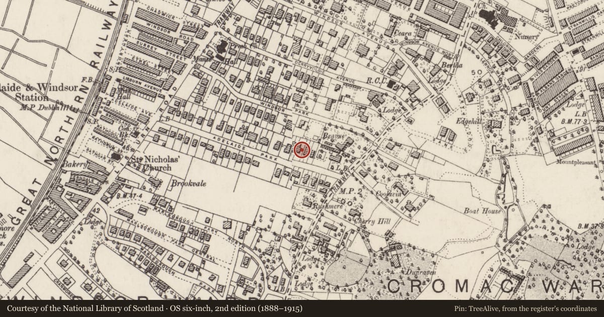
Slide toward Today to fade the historical sheet and see the modern map underneath.
David Rumsey Map Collection, Stanford LibrariesDavid Rumsey Map Collection, Stanford LibrariesDavid Rumsey Map Collection, Stanford LibrariesDavid Rumsey Map Collection, Stanford Libraries
4 historical maps cover this location, the earliest the 1636 map "Vltoniae Orientalis Pars" (David Rumsey Map Collection, Stanford Libraries).
Historical maps covering this location
- 1636 · Vltoniae Orientalis Pars (David Rumsey Map Collection, Stanford Libraries)
- 1811 · Ireland. (David Rumsey Map Collection, Stanford Libraries)
- 1841 · Ireland. (David Rumsey Map Collection, Stanford Libraries)
- 1891 · Ireland 16 (David Rumsey Map Collection, Stanford Libraries)
The Department's description
Criteria for listing: architectural interest
Not listed
Criteria for listing: historic interest
Not listed
Evaluation
Designed in 1898 by William Roome for William Clarke and having half-timbered main gable with painted brickwork at ground floor level. Window replacement with PVC has resulted in the building to be no longer of sufficient interest to warrant a full survey.
Nearby in the register
- 32-34 Adelaide ParkNo type recordedunder 1 mi
- 38-40 Adelaide ParkNo type recordedunder 1 mi
- 30 Adelaide ParkNo type recordedunder 1 mi
- 37 ADELAIDE PARKHOUSEunder 1 mi
Other entries of the same register within about three miles of this one, by straight line.