Historic Buildings Record · Northern Ireland
Pump
Town Parks, Ards and North Down, Northern Ireland
The record
- Designation
- Record only (not listed)
- Grade
- Record Only
- Type
- Pump
- Date of construction
- 1920 - 1939
- Address
- Pump, 1 Dalton Drive, Comber, Co. Down
- Townland
- Town Parks
- Council
- Ards and North Down
- Country
- Northern Ireland
- Coordinates
- 54.54993, -5.76339
- Date of survey
- 15 August 1995
- HB reference
- HB24/15/112
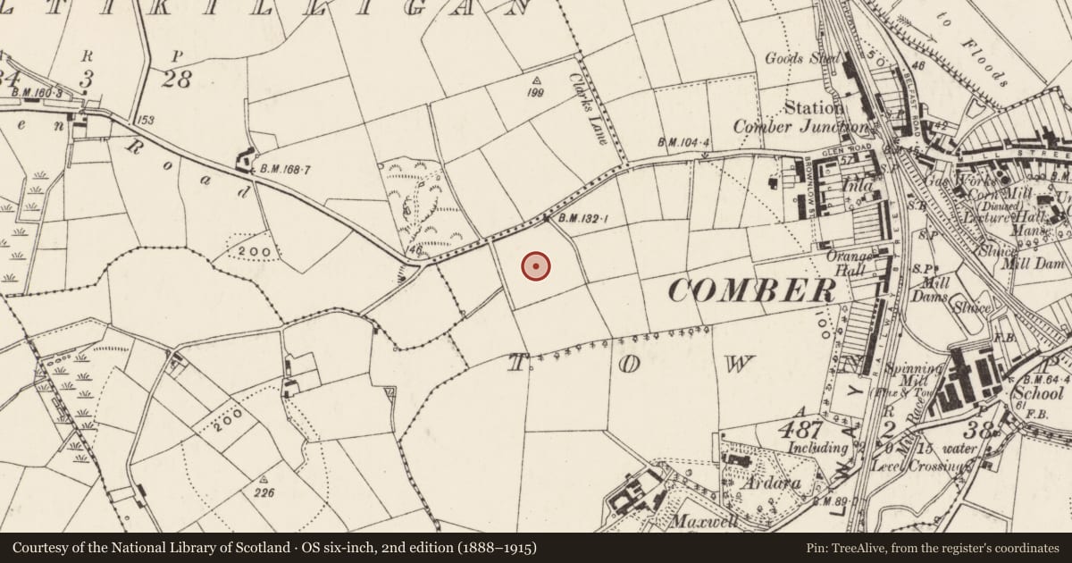
Slide toward Today to fade the historical sheet and see the modern map underneath.
David Rumsey Map Collection, Stanford LibrariesDavid Rumsey Map Collection, Stanford LibrariesDavid Rumsey Map Collection, Stanford Libraries
3 historical maps cover this location, the earliest the 1900 map "Ireland" (David Rumsey Map Collection, Stanford Libraries).
Historical maps covering this location
- 1900 · Ireland (David Rumsey Map Collection, Stanford Libraries)
- 1901 · Ireland. (David Rumsey Map Collection, Stanford Libraries)
- 1906 · Edinburgh. Scottish Lake District. Index Map: Ireland. (David Rumsey Map Collection, Stanford Libraries)
The Department's description
Exterior description and setting
A cow tail colsed head lever type pump with a plain spirally decorated column and a fluted cap with an acorn finial. It is inscribed 'J Miskelly Newtownards'. It is now a garden ornament.
Historical information
Recently installed at it's present location. It's owner stated that it was originally installed in the yard at the rear of Hanna and Brown, Newtownards. Further particulars in the EHS Report 'Water Pumps in Northern Ireland : A Preliinary Survey' by Fred Hammond, January 1997, Pump no 65.
Criteria for listing: architectural interest
Not listed
Criteria for listing: historic interest
Not listed
Evaluation
A cow tailed pump recently installed as a garden ornament in its present location.
Nearby in the register
- Maxwell Court,Houseunder 1 mi
- 59-89 Brownlow StreetHouse - Terraceunder 1 mi
- Ardara House,Houseunder 1 mi
- 52-82 Brownlow StreetHouse - Terraceunder 1 mi
Other entries of the same register within about three miles of this one, by straight line.