Historic Buildings Record · Northern Ireland
Old Market Cross
Newtownards, Ards and North Down, Northern Ireland
The record
- Designation
- Record only (not listed)
- Grade
- Record Only
- Type
- Market
- Date of construction
- 1600 - 1649
- Address
- Old Market Cross, Castle Place, Newtownards, Co. Down, BT23 3JF
- Townland
- Newtownards
- Council
- Ards and North Down
- Country
- Northern Ireland
- Coordinates
- 54.59250, -5.69327
- Date of survey
- 09 September 1998
- HB reference
- HB24/13/006
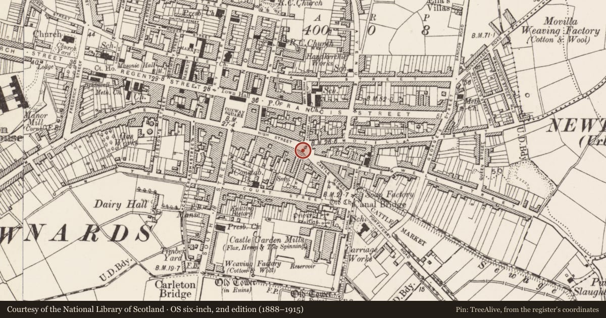
Slide toward Today to fade the historical sheet and see the modern map underneath.
David Rumsey Map Collection, Stanford LibrariesDavid Rumsey Map Collection, Stanford LibrariesDavid Rumsey Map Collection, Stanford LibrariesDavid Rumsey Map Collection, Stanford Libraries
4 historical maps cover this location, the earliest the 1636 map "Vltoniae Orientalis Pars" (David Rumsey Map Collection, Stanford Libraries).
Historical maps covering this location
- 1636 · Vltoniae Orientalis Pars (David Rumsey Map Collection, Stanford Libraries)
- 1637 · The Fourth table of Ireland. Ultonia Oriental (David Rumsey Map Collection, Stanford Libraries)
- 1794 · Sheet 55. (Cary's England, Wales, and Scotland). (David Rumsey Map Collection, Stanford Libraries)
- 1891 · Ireland 16 (David Rumsey Map Collection, Stanford Libraries)
The Department's description
Exterior description and setting
Octagonal ‘market cross’ of 1636 (?largely rebuilt in1666), in Scrabo sandstone with carved panels to faces. See SMR Dow 6:20.
Historical information
This market cross was built by Hugh Montgomery (or his son and heir) in 1636, though sources suggest it was extensively repaired (?or even rebuilt) in 1666. See SMR Dow 6:20.
Criteria for listing: architectural interest
Not listed
Criteria for listing: historic interest
Not listed
Evaluation
Octagonal market cross of 1636 in Scrabo sandstone.
This structure is a Scheduled Monument, and therefore afforded statutory protection.
General comments
As a Scheduled Monument, this building enjoys statutory protection.
Nearby in the register
- 61-63 High StreetShopunder 1 mi
- Old Cross BarPublic Houseunder 1 mi
- 4-6 Movilla StreetDemolishedunder 1 mi
- 44 High StreetShopunder 1 mi
Other entries of the same register within about three miles of this one, by straight line.