Historic Buildings Record · Northern Ireland
33 Upper Gransha Road
Gransha, Ards and North Down, Northern Ireland
The record
- Designation
- Record only (not listed)
- Grade
- Record Only
- Type
- Demolished
- Date of construction
- 1840 - 1859
- Address
- 33 Upper Gransha Road, Gransha, Newtownards, Co Down, BT23 ?
- Townland
- Gransha
- Council
- Ards and North Down
- Country
- Northern Ireland
- Coordinates
- 54.62364, -5.62616
- Date of survey
- 16 June 1998
- HB reference
- HB24/09/026
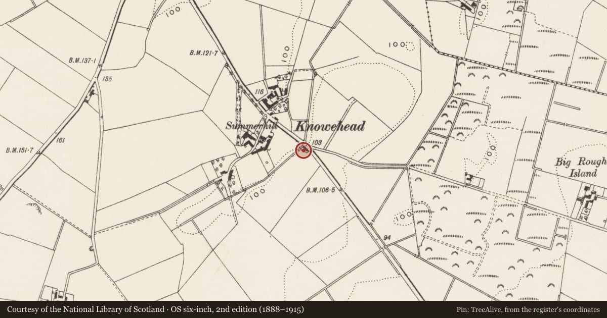
Slide toward Today to fade the historical sheet and see the modern map underneath.
David Rumsey Map Collection, Stanford LibrariesDavid Rumsey Map Collection, Stanford LibrariesDavid Rumsey Map Collection, Stanford Libraries
3 historical maps cover this location, the earliest the 1831 map "Scotland southern." (David Rumsey Map Collection, Stanford Libraries).
Historical maps covering this location
- 1831 · Scotland southern. (David Rumsey Map Collection, Stanford Libraries)
- 1841 · Scotland (Southern part). XIII (David Rumsey Map Collection, Stanford Libraries)
- 1841 · Ireland. (David Rumsey Map Collection, Stanford Libraries)
The Department's description
Exterior description and setting
Site (on the W side of the Upper Gransha Road c.3.5 miles NE of Newtownards), of former single storey vernacular house, now demolished.
Description from 1st Survey card " Single/sty cottage. Roof slated, gable ends. Brick chimneys. Walls rubble, rendered and white washed. Front has window - door - window - door - window. Windows D/H horiz astragals. Doors sheeted. R/H door also half door."
Historical information
A building is shown on this site on the revised OS Map of 1858-60, but not that of 1834, suggesting that the building formerly present dated to between these dates.
References- Primary sources
1 PRONI OS Map, 1st rev. 1858-60, Down 6.
2 PRONI 2nd valuation, Bangor, c.1863.
Criteria for listing: architectural interest
Not listed
Criteria for listing: historic interest
Not listed
Evaluation
Site of former single storey vernacular house, probably built c.1840, demolished in recent times.
Nearby in the register
- ‘Betsy Gray’s Cottage’Farm Buildingsunder 1 mi
- Grainey LodgeHouseunder 1 mi
- Ballygrainey Presbyterian ChurchChurchunder 1 mi
- Ashton HouseHouseunder 1 mi
Other entries of the same register within about three miles of this one, by straight line.