Historic Buildings Record · Northern Ireland
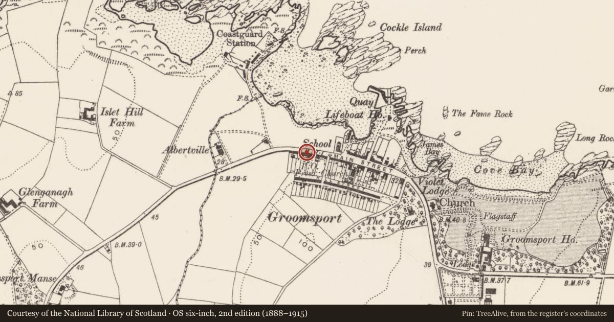
9 Main Street
Ards and North Down, Northern Ireland
The record
- Designation
- Record only (not listed)
- Grade
- Record Only
- Type
- No type recorded
- Address
- 9 Main Street, Groomsport, Bangor, County Down, BT19 6JR
- Council
- Ards and North Down
- Country
- Northern Ireland
- Coordinates
- 54.67590, -5.62001
- Date of survey
- 05 April 2010
- HB reference
- HB23/01/023
Slide toward Today to fade the historical sheet and see the modern map underneath.
David Rumsey Map Collection, Stanford LibrariesDavid Rumsey Map Collection, Stanford LibrariesDavid Rumsey Map Collection, Stanford LibrariesDavid Rumsey Map Collection, Stanford Libraries
4 historical maps cover this location, the earliest the 1636 map "Vltoniae Orientalis Pars" (David Rumsey Map Collection, Stanford Libraries).
Historical maps covering this location
- 1636 · Vltoniae Orientalis Pars (David Rumsey Map Collection, Stanford Libraries)
- 1690 · Scotland below the Tay. (David Rumsey Map Collection, Stanford Libraries)
- 1697 · Scotia, Parte Meridionale (David Rumsey Map Collection, Stanford Libraries)
- 1891 · Ireland 16 (David Rumsey Map Collection, Stanford Libraries)
The Department's description
Exterior description and setting
A two-storey semi-detached house with integral carriage-arch, located on Main Street, Groomsport. The house has been subjected to extensive alterations, including the insertion of two dormer windows and replacement fenestration.
Historical information
N/A
Criteria for listing: architectural interest
Not listed
Criteria for listing: historic interest
Not listed
Evaluation
A two-storey semi-detached house with integral carriage-arch, located on Main Street, Groomsport. The house has been made subject to extensive alterations, including the insertion of two dormer windows and replacement fenestration. Not considered of interest.
General comments
Partial Survey Only
Nearby in the register
- War MemorialMemorialunder 1 mi
- Cockle RowGallery/ Museumunder 1 mi
- Groomsport Presbyterian ChurchChurchunder 1 mi
- 45-47 Main StreetNo type recordedunder 1 mi
Other entries of the same register within about three miles of this one, by straight line.