Historic Buildings Record · Northern Ireland
Lodge
Antrim and Newtownabbey, Northern Ireland
The record
- Designation
- Record only (not listed)
- Grade
- Record Only
- Type
- Gates/ Screens/ Lodges
- Address
- Lodge, Mossley House, Ballyhenry, Co Antrim
- Council
- Antrim and Newtownabbey
- Country
- Northern Ireland
- Coordinates
- 54.69445, -5.94049
- HB reference
- HB21/03/012
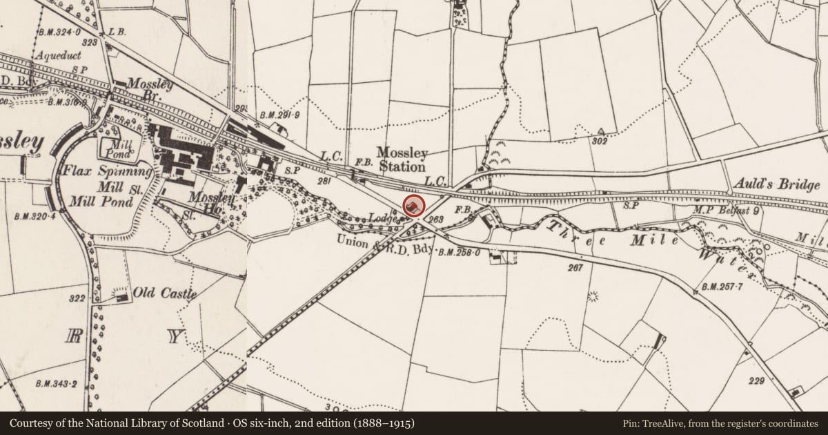
Slide toward Today to fade the historical sheet and see the modern map underneath.
David Rumsey Map Collection, Stanford LibrariesDavid Rumsey Map Collection, Stanford LibrariesDavid Rumsey Map Collection, Stanford LibrariesDavid Rumsey Map Collection, Stanford Libraries
4 historical maps cover this location, the earliest the 1636 map "Vltoniae Orientalis Pars" (David Rumsey Map Collection, Stanford Libraries).
Historical maps covering this location
- 1636 · Vltoniae Orientalis Pars (David Rumsey Map Collection, Stanford Libraries)
- 1697 · Scotia, Parte Meridionale (David Rumsey Map Collection, Stanford Libraries)
- 1811 · Ireland. (David Rumsey Map Collection, Stanford Libraries)
- 1891 · Ireland 16 (David Rumsey Map Collection, Stanford Libraries)
The Department's description
Exterior description and setting
Detached three-bay single-storey with attic-storey former gate lodge, built c.1850, with a gabled entrance porch. The window and door openings retain their hood mouldings with two original windows to the entrance porch only.
Historical information
N/A
Criteria for listing: architectural interest
Not listed
Criteria for listing: historic interest
Not listed
Evaluation
Detached three-bay single-storey with attic-storey former gate lodge, built c.1850, with a gabled entrance porch. Cement rendered and extended c. 1990, this lodge has lost its original plan, its interior and its historic character.
General comments
This building is not worthy of a full Second Survey. A partial record has been taken as this building was surveyed in the First Survey but not listed at that time.
Nearby in the register
- Bridgeunder 1 mi
- OutbuildingsDemolishedunder 1 mi
- Mossley HouseDemolishedunder 1 mi
- Newtownabbey Borough Council officesTown Hallunder 1 mi
Other entries of the same register within about three miles of this one, by straight line.