Historic Buildings Record · Northern Ireland
Bruslee House
Antrim and Newtownabbey, Northern Ireland
The record
- Designation
- Record only (not listed)
- Grade
- Record Only
- Type
- No type recorded
- Address
- Bruslee House, 15 Lockwood Road, Ballyclare, Co Antrim, BT39 9LR
- Council
- Antrim and Newtownabbey
- Country
- Northern Ireland
- Coordinates
- 54.73212, -5.97413
- Date of survey
- 04 November 2008
- HB reference
- HB21/02/021
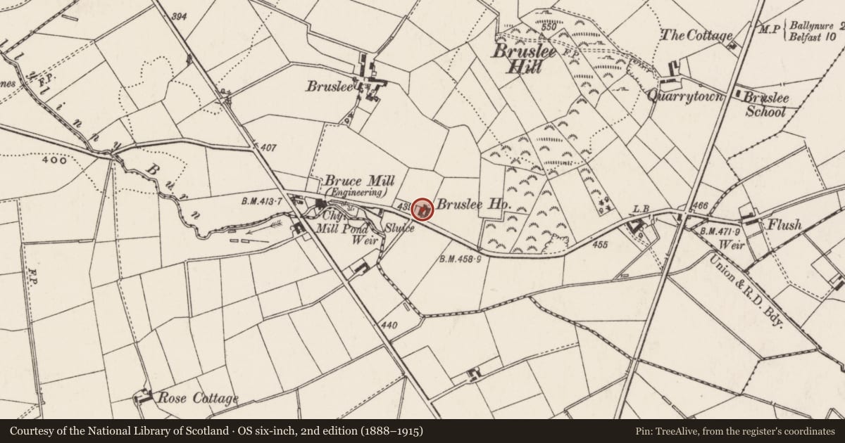
Slide toward Today to fade the historical sheet and see the modern map underneath.
David Rumsey Map Collection, Stanford LibrariesDavid Rumsey Map Collection, Stanford LibrariesDavid Rumsey Map Collection, Stanford LibrariesDavid Rumsey Map Collection, Stanford Libraries
4 historical maps cover this location, the earliest the 1636 map "Vltoniae Orientalis Pars" (David Rumsey Map Collection, Stanford Libraries).
Historical maps covering this location
- 1636 · Vltoniae Orientalis Pars (David Rumsey Map Collection, Stanford Libraries)
- 1697 · Scotia, Parte Meridionale (David Rumsey Map Collection, Stanford Libraries)
- 1811 · Ireland. (David Rumsey Map Collection, Stanford Libraries)
- 1891 · Ireland 16 (David Rumsey Map Collection, Stanford Libraries)
The Department's description
Exterior description and setting
Detached three-bay one-and-a-half-storey house, built c.1830, facing west, set in its own grounds to the north of Logwood Road. Central entrance recessed within elliptical arched opening, two square headed 3/9 timber casement windows to flanking bays. The building was not listed during the First Survey and is not of sufficient historical or architectural interest to merit listing in the Second Survey.
Historical information
Built c.1830
Criteria for listing: architectural interest
Not listed
Criteria for listing: historic interest
Not listed
Evaluation
Detached three-bay one-and-a-half-storey house, built c.1830, facing west, set in its own grounds to the north of Logwood Road. Central entrance recessed within elliptical arched opening, two square headed 3/9 timber casement windows to flanking bays. The building was not listed during the First Survey and is not of sufficient historical or architectural interest to merit listing in the Second Survey.
Nearby in the register
- BrusleeNo type recordedunder 1 mi
- Glen ParkNo type recordedunder 1 mi
- Ballylinney Presbyterian ChurchChurchunder 1 mi
- HillviewHouse1 mi
Other entries of the same register within about three miles of this one, by straight line.