Historic Buildings Record · Northern Ireland
10, 11, and 12 Market Square
Town Parks, Antrim and Newtownabbey, Northern Ireland
The record
- Designation
- Record only (not listed)
- Grade
- Record Only
- Type
- Demolished
- Date of construction
- 1860 - 1879
- Address
- 10, 11, and 12 Market Square, Antrim, BT41 4AW
- Townland
- Town Parks
- Council
- Antrim and Newtownabbey
- Country
- Northern Ireland
- Coordinates
- 54.71479, -6.22066
- Date of survey
- 06 November 2004
- HB reference
- HB20/08/011
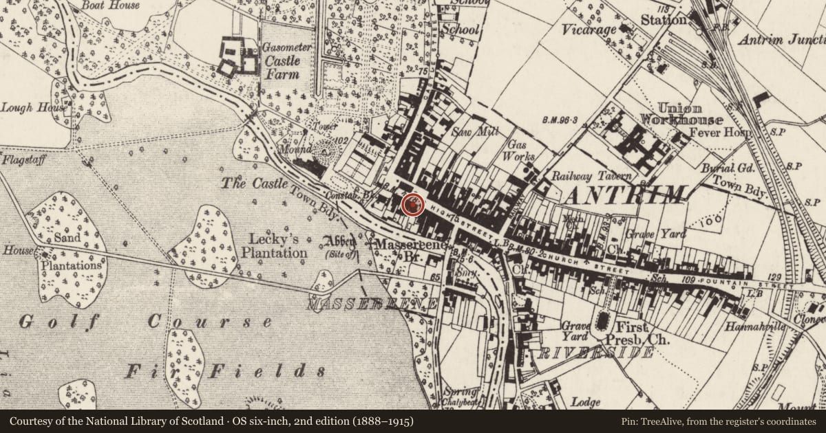
Slide toward Today to fade the historical sheet and see the modern map underneath.
David Rumsey Map Collection, Stanford LibrariesDavid Rumsey Map Collection, Stanford LibrariesDavid Rumsey Map Collection, Stanford Libraries
3 historical maps cover this location, the earliest the 1854 map "Ireland." (David Rumsey Map Collection, Stanford Libraries).
Historical maps covering this location
- 1854 · Ireland. (David Rumsey Map Collection, Stanford Libraries)
- 1857 · Ireland (David Rumsey Map Collection, Stanford Libraries)
- 1869 · Ireland. (David Rumsey Map Collection, Stanford Libraries)
The Department's description
Exterior description and setting
Demolished and replaced by a new building.
Described in the first survey in 1970 as "A three storey brick built terrace with string courses, drip mouldings and yellow brick dressings to window openings. There are half dormers lighting roof space accommodation. The roofs are slated. Shop fronts are contemporary. Upper windows D/H with plain sashes below and small paned sashes above are paired and occupy small projections from main façade with barge boarded gables at roof level."
Historical information
Precise date of buildings not recorded but they appear on the OS map of 1857 and may be dated stylistically to the High Victorian era. The buildings stood in the area of a monument, SMR no ANT182.
References – Primary Sources
1. OS Map 1857, Co Antrim 50.
Secondary Sources
1. UAHS, Antrim and Ballymena (Belfast, 1969), p 9.
Criteria for listing: architectural interest
Not listed
Criteria for listing: historic interest
Not listed
Evaluation
Demolished and replaced by a new building.
Nearby in the register
- 13-15 Market SquareShop - Terraceunder 1 mi
- Court Houseunder 1 mi
- Ulster BankBankunder 1 mi
- 49 High StreetShop - Terraceunder 1 mi
Other entries of the same register within about three miles of this one, by straight line.