Historic Buildings Record · Northern Ireland
88 Katesbridge Road
Armagh City, Banbridge and Craigavon, Northern Ireland
The record
- Designation
- Record only (not listed)
- Grade
- Record Only
- Type
- No type recorded
- Date of construction
- 1900 - 1919
- Address
- 88 Katesbridge Road, BANBRIDGE, Co Down, BT32 5HA
- Council
- Armagh City, Banbridge and Craigavon
- Country
- Northern Ireland
- Coordinates
- 54.29199, -6.10409
- Date of survey
- 19 March 2012
- HB reference
- HB17/09/007
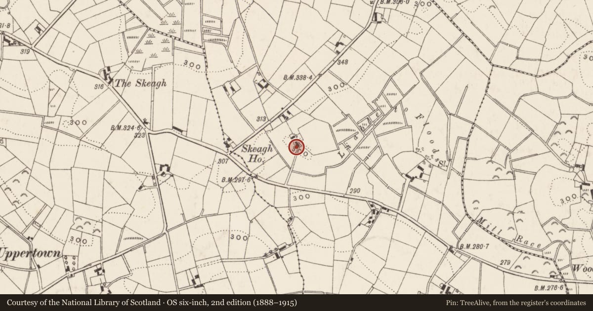
Slide toward Today to fade the historical sheet and see the modern map underneath.
David Rumsey Map Collection, Stanford LibrariesDavid Rumsey Map Collection, Stanford LibrariesDavid Rumsey Map Collection, Stanford LibrariesDavid Rumsey Map Collection, Stanford Libraries
4 historical maps cover this location, the earliest the 1891 map "Ireland 16" (David Rumsey Map Collection, Stanford Libraries).
Historical maps covering this location
- 1891 · Ireland 16 (David Rumsey Map Collection, Stanford Libraries)
- 1900 · Ireland (David Rumsey Map Collection, Stanford Libraries)
- 1901 · Ireland. (David Rumsey Map Collection, Stanford Libraries)
- 1906 · Edinburgh. Scottish Lake District. Index Map: Ireland. (David Rumsey Map Collection, Stanford Libraries)
The Department's description
Exterior description and setting
A single-storey three-bay cottage, dating from c.1900, located at Katesbridge Road, Banbridge. Now demolished and replaced by a modern house.
Historical information
N/A
Criteria for listing: architectural interest
Not listed
Criteria for listing: historic interest
Not listed
Evaluation
A single-storey three-bay cottage, dating from c.1900, located at Katesbridge Road, Banbridge. Now demolished and replaced by a modern house.
General comments
Partial Survey Only
Nearby in the register
- 25 Drumgooland RoadNo type recordedunder 1 mi
- 36 Mill RoadNo type recordedunder 1 mi
- MOURNEVIEWHOUSEunder 1 mi
- Fowlersbridge HouseHouseunder 1 mi
Other entries of the same register within about three miles of this one, by straight line.