Historic Buildings Record · Northern Ireland
173 Scarva Road
Armagh City, Banbridge and Craigavon, Northern Ireland
The record
- Designation
- Record only (not listed)
- Grade
- Record Only
- Type
- No type recorded
- Address
- 173 Scarva Road, Ballyvarley, Banbridge, Co Down, BT32 3QL
- Council
- Armagh City, Banbridge and Craigavon
- Country
- Northern Ireland
- Coordinates
- 54.34369, -6.33174
- Date of survey
- 14 October 2011
- HB reference
- HB17/03/016
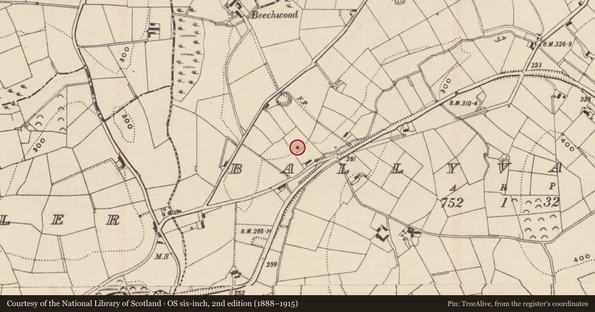
Slide toward Today to fade the historical sheet and see the modern map underneath.
David Rumsey Map Collection, Stanford LibrariesDavid Rumsey Map Collection, Stanford LibrariesDavid Rumsey Map Collection, Stanford LibrariesDavid Rumsey Map Collection, Stanford Libraries
4 historical maps cover this location, the earliest the 1636 map "Vltoniae Orientalis Pars" (David Rumsey Map Collection, Stanford Libraries).
Historical maps covering this location
- 1636 · Vltoniae Orientalis Pars (David Rumsey Map Collection, Stanford Libraries)
- 1790 · Composite: Ireland. (David Rumsey Map Collection, Stanford Libraries)
- 1811 · Ireland. (David Rumsey Map Collection, Stanford Libraries)
- 1891 · Ireland 16 (David Rumsey Map Collection, Stanford Libraries)
The Department's description
Exterior description and setting
A former single-storey hearth-lobby entry long vernacular house with attached byre and windbreak porch, now demolished and replaced with a large modern house.
The First Survey card records:
‘Pre 1859. A cottage with harled and whitened walls and corrugated iron roof. The entrance is recessed in a projecting porch under extension of main roof. Sashed windows, two either side of the entrance, one of six panes. There is also an outhouse door on the front elevation, sheeted as main door.
Not on 1833 OS map
On 1859 OS MAP
Date of visit: 3 Sept 1971'
Historical information
N/A
Criteria for listing: architectural interest
Not listed
Criteria for listing: historic interest
Not listed
Evaluation
A former single-storey hearth-lobby entry long vernacular house with attached byre and windbreak porch, now demolished and replaced with a large modern house.
General comments
Partial Survey Only
Nearby in the register
- Milestone NearMilestoneunder 1 mi
- St Mary's Roman Catholic ChurchChurchunder 1 mi
- Water Blow Off TowerWater Works Structuresunder 1 mi
- 46 Loughbrickland RoadNo type recordedunder 1 mi
Other entries of the same register within about three miles of this one, by straight line.