Historic Buildings Record · Northern Ireland
1-42 O’Neill Avenue
Ballynacraig, Newry, Mourne and Down, Northern Ireland
The record
- Designation
- Record only (not listed)
- Grade
- Record Only
- Type
- House - Terrace
- Date of construction
- 1920 - 1939
- Address
- 1-42 O’Neill Avenue, Newry, Co Down, BT34 2DU
- Townland
- Ballynacraig
- Council
- Newry, Mourne and Down
- Country
- Northern Ireland
- Coordinates
- 54.16693, -6.32955
- Date of survey
- 15 August 1997
- HB reference
- HB16/30/039
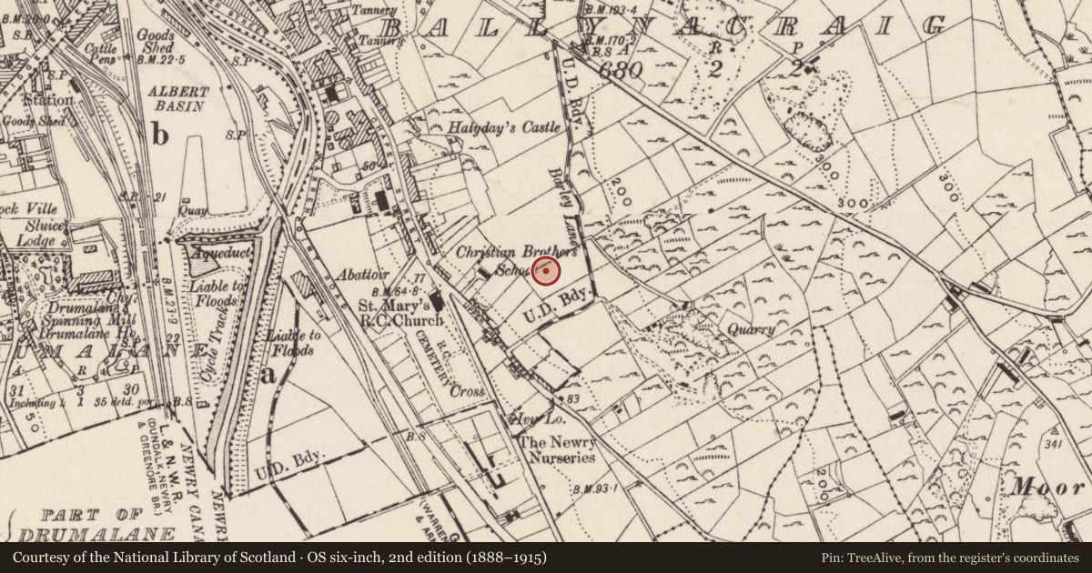
Slide toward Today to fade the historical sheet and see the modern map underneath.
David Rumsey Map Collection, Stanford LibrariesDavid Rumsey Map Collection, Stanford LibrariesDavid Rumsey Map Collection, Stanford LibrariesDavid Rumsey Map Collection, Stanford Libraries
4 historical maps cover this location, the earliest the 1900 map "Ireland" (David Rumsey Map Collection, Stanford Libraries).
Historical maps covering this location
- 1900 · Ireland (David Rumsey Map Collection, Stanford Libraries)
- 1901 · Ireland. (David Rumsey Map Collection, Stanford Libraries)
- 1906 · Edinburgh. Scottish Lake District. Index Map: Ireland. (David Rumsey Map Collection, Stanford Libraries)
- 1922 · Ireland - northern section. (David Rumsey Map Collection, Stanford Libraries)
The Department's description
Exterior description and setting
Divided into six blocks - 1-6, 7-10, 11-18, 19-26, 27-34, 35-42.
Plain red brick two-storey/ two-bay houses with pre-cast concrete canopies above front doors. Windows have all been altered. Gardens to front and rear.
Historical information
Resolution adopted by Newry Urban District Council in 1924 for a £13,000 estimate for house construction at O'Neill Avenue. These houses first appear in 1926 valuation revision book, being cited as 'vacant' - this suggests erection in 1925-6. Occupied from 1927 onwards.
Primary Sources:
1. Valuation revision books, 1866-1930, PRONI: VAL 12B/22/17C, pp.236-38.
Secondary Sources:
1. G. Fay (ed, 1994), Proud people: a Newry anthology, p.67 (Newry).
Criteria for listing: architectural interest
Not listed
Criteria for listing: historic interest
Not listed
Evaluation
An early public housing scheme in Newry and an interesting contrast to the later public housing in this area.
Nearby in the register
- St. Mary’s High SchoolSchoolunder 1 mi
- St. Mary’s Chapel (RC)Churchunder 1 mi
- Boundary Post near 12 Carnagh Park Chapel Road Newry Co Down BT34 2QRBoundary Markerunder 1 mi
- Halyday’s CastleHouseunder 1 mi
Other entries of the same register within about three miles of this one, by straight line.