Historic Buildings Record · Northern Ireland
27b Dominic Street
Ballinlare, Newry, Mourne and Down, Northern Ireland
The record
- Designation
- Record only (not listed)
- Grade
- Record Only
- Type
- House
- Date of construction
- 1880 - 1899
- Address
- 27b Dominic Street, Newry, Co Down, BT35 8BN
- Townland
- Ballinlare
- Council
- Newry, Mourne and Down
- Country
- Northern Ireland
- Coordinates
- 54.17273, -6.34422
- Date of survey
- 25 September 1997
- HB reference
- HB16/29/016 B
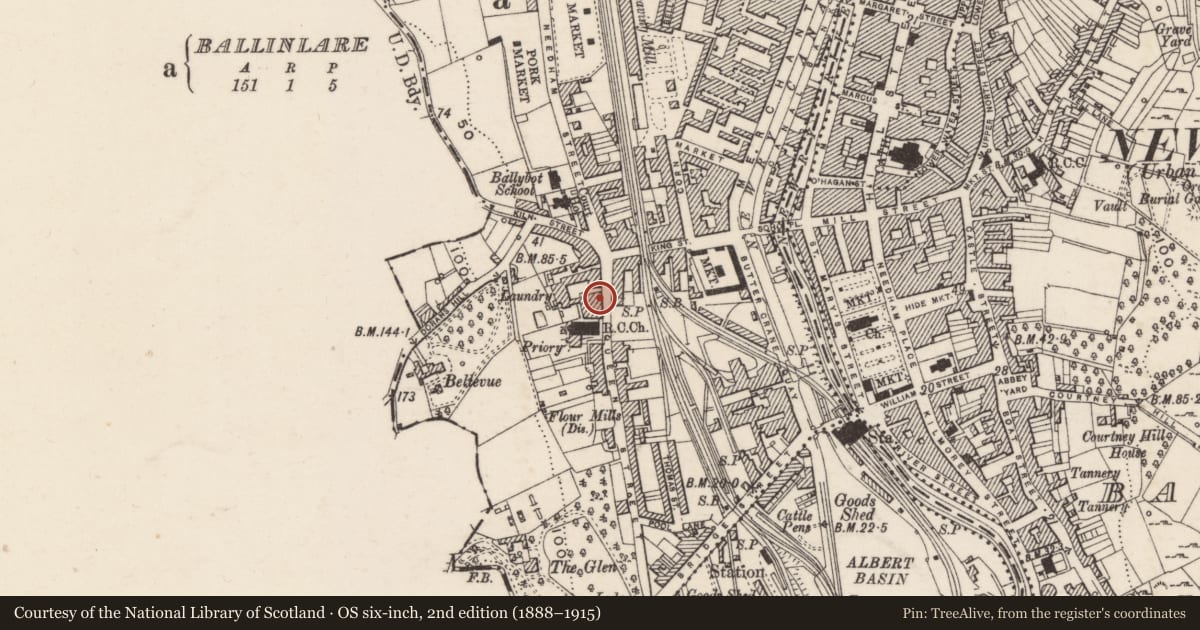
Slide toward Today to fade the historical sheet and see the modern map underneath.
David Rumsey Map Collection, Stanford LibrariesDavid Rumsey Map Collection, Stanford LibrariesDavid Rumsey Map Collection, Stanford LibrariesDavid Rumsey Map Collection, Stanford Libraries
4 historical maps cover this location, the earliest the 1866 map "Ireland." (David Rumsey Map Collection, Stanford Libraries).
Historical maps covering this location
- 1866 · Ireland. (David Rumsey Map Collection, Stanford Libraries)
- 1869 · Ireland. (David Rumsey Map Collection, Stanford Libraries)
- 1881 · Ireland to Illustrate the Military Condition of the Country. (David Rumsey Map Collection, Stanford Libraries)
- 1891 · Ireland 16 (David Rumsey Map Collection, Stanford Libraries)
The Department's description
Exterior description and setting
Left building of a pair of three storey houses arranged symmetrically on either side of a shared coach arch (to right), on west side of street.
Pitched artificial slate roof with plastic rainwater goods, and brick chimney on party wall with central arch. Façade walls are rendered with lined cement with a raised and stepped decorative quoin at left. Entrance (at left) has a transom light above a four-panelled door with rendered pilaster surround and lozenge panelled entablature above. Single window to right of door, and two on first floor and second floor (the latter smaller); all have granite cills and are 2/2 sliding sash (with horns).
Rear façade has wall markings indicating former yard return, now demolished. At ground floor are French windows to yard. Two windows to first floor; at left 2/2 sliding sash, at right a modern insertion. At second floor is one 2/2 sliding sash.
Historical information
Recorded in Valuation Revision book as ‘in progress’ in 1888; cited as being occupied from 1889 onwards. On site of brewery premises.
Source:
VAL 12B/15/1E, pp.204-5.
Criteria for listing: architectural interest
Not listed
Criteria for listing: historic interest
Not listed
Evaluation
Left building of a pair of three storey houses arranged symmetrically on either side of a shared coach arch. Plain and with altered windows, this building (one of a pair) has some streetscape value, but it is not of special architectural or historic interest.
Nearby in the register
- 27a Dominic StreetHouseunder 1 mi
- South Down Dental ClinicHealth Centreunder 1 mi
- 31 Dominic StreetHouseunder 1 mi
- St Catherine’s (RC) ChurchChurchunder 1 mi
Other entries of the same register within about three miles of this one, by straight line.