Historic Buildings Record · Northern Ireland
Water pump
Carrickbroad, Newry, Mourne and Down, Northern Ireland
The record
- Designation
- Record only (not listed)
- Grade
- Record Only
- Type
- Pump
- Date of construction
- 1960 - 1979
- Address
- Water pump, Tievecrom Road, Forkhill, Newry, Co Armagh, BT35 9RU
- Townland
- Carrickbroad
- Council
- Newry, Mourne and Down
- Country
- Northern Ireland
- Coordinates
- 54.06814, -6.41937
- Date of survey
- 31 July 2000
- HB reference
- HB16/15/054
Slide toward Today to fade the historical sheet and see the modern map underneath.
Digital Commonwealth, Boston Public LibraryDavid Rumsey Map Collection, Stanford Libraries
2 historical maps cover this location, the earliest the 1922 map "Ireland - northern section." (David Rumsey Map Collection, Stanford Libraries).
Historical maps covering this location
- 1922 · Ireland - northern section. (David Rumsey Map Collection, Stanford Libraries)
- 1956 · Dublin (Digital Commonwealth, Boston Public Library)
The Department's description
Exterior description and setting
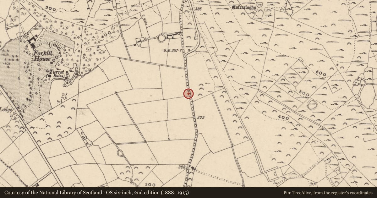
A water pump on grassy verge on E side of road.
Plain shaft with three bands, a lugged spout, fluted top with cabled rim and acorn finial. Slightly curved handle. Stands 1.35m high. Mounted on a concrete base. Low white washed rubble wall on N side. Maintained but not working.
Historical information
Not shown on first four editions of OS 6” map (up to 1957), indicating that it is probably of relatively modern date.
Criteria for listing: architectural interest
Not listed
Criteria for listing: historic interest
Not listed
Evaluation
A water pump. An interesting roadside feature but not of special architectural or historic interest.
Nearby in the register
- Forkhill HouseHouseunder 1 mi
- FarmyardFarm Buildingsunder 1 mi
- Gate Lodge to Forkhill HouseGates/ Screens/ Lodgesunder 1 mi
- Gate Screen to Forkhill HouseGates/ Screens/ Lodgesunder 1 mi
Other entries of the same register within about three miles of this one, by straight line.