Historic Buildings Record · Northern Ireland
Cottage SW of Bernish Bridge
Ballymacdermot, Newry, Mourne and Down, Northern Ireland
The record
- Designation
- Record only (not listed)
- Grade
- Record Only
- Type
- House
- Date of construction
- 1920 - 1939
- Address
- Cottage SW of Bernish Bridge, Seavers Road, Newry, Co Armagh
- Townland
- Ballymacdermot
- Council
- Newry, Mourne and Down
- Country
- Northern Ireland
- Coordinates
- 54.16070, -6.36552
- Date of survey
- 15 May 2000
- HB reference
- HB16/13/016
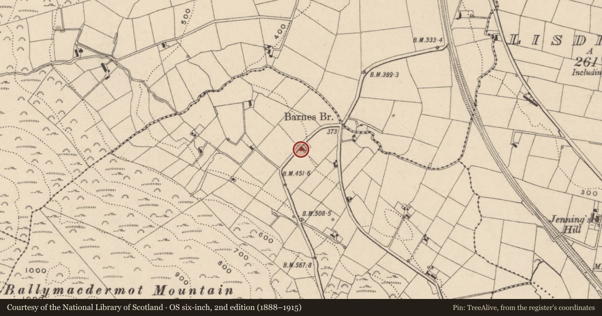
Slide toward Today to fade the historical sheet and see the modern map underneath.
David Rumsey Map Collection, Stanford LibrariesDavid Rumsey Map Collection, Stanford LibrariesDavid Rumsey Map Collection, Stanford LibrariesDavid Rumsey Map Collection, Stanford Libraries
4 historical maps cover this location, the earliest the 1900 map "Ireland" (David Rumsey Map Collection, Stanford Libraries).
Historical maps covering this location
- 1900 · Ireland (David Rumsey Map Collection, Stanford Libraries)
- 1901 · Ireland. (David Rumsey Map Collection, Stanford Libraries)
- 1906 · Edinburgh. Scottish Lake District. Index Map: Ireland. (David Rumsey Map Collection, Stanford Libraries)
- 1922 · Ireland - northern section. (David Rumsey Map Collection, Stanford Libraries)
The Department's description
Exterior description and setting
A refurbished single storey dwelling aligned NW-SE perpendicular to road.
Roof is pitched natural slate with a modern textured red brick chimney to each gable. Half-round plastic rainwater goods, with downpipe to the right on façade. Walls are wet-dashed with painted cement rendered base course.
Principal elevation faces NE. To centre of façade is a windbreak porch with pitched natural slate roof and timber bargeboards. The door is t+g sheeted. Left and right cheeks are blank. To either side of porch is a top-hung 2/2 timber casement window with external timber shutters.
Left and right gables are blank.
Rear elevation has a window as façade set to left.
Historical information
A building is shown at this location on the 1834 OS map. However, the present building dates from 1921, the Valuation Revision book entry of that year reading "old house down" and describing the new house as a "small one bay cabin and small office".
Primary sources:
1. First edition OS 6" map, Co Armagh sheet 26, 1834 (PRONI - OS 6/2/26/1).
2. Valuation Revision book, 1921 (PRONI - VAL 12B/15/17d, p.44).
Criteria for listing: architectural interest
Not listed
Criteria for listing: historic interest
Not listed
Evaluation
This vernacular dwelling has been completely refurbished and is of little interest.
Nearby in the register
- House 1,Houseunder 1 mi
- Court TombArchaeological Siteunder 1 mi
- Railway BridgeBridgeunder 1 mi
- 15 Seavers RoadHouseunder 1 mi
Other entries of the same register within about three miles of this one, by straight line.