Historic Buildings Record · Northern Ireland
85 Ballagh Road
Ballaghanery Upper, Newry, Mourne and Down, Northern Ireland
The record
- Designation
- Record only (not listed)
- Grade
- Record Only
- Type
- House
- Date of construction
- 1800 - 1819
- Address
- 85 Ballagh Road, Newcastle, Co Down, BT33 OLA
- Townland
- Ballaghanery Upper
- Council
- Newry, Mourne and Down
- Country
- Northern Ireland
- Coordinates
- 54.17226, -5.87525
- Date of survey
- 17 June 1997
- HB reference
- HB16/01/037
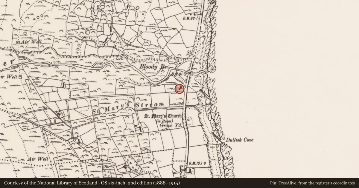
Slide toward Today to fade the historical sheet and see the modern map underneath.
David Rumsey Map Collection, Stanford LibrariesDavid Rumsey Map Collection, Stanford LibrariesDavid Rumsey Map Collection, Stanford LibrariesDavid Rumsey Map Collection, Stanford Libraries
4 historical maps cover this location, the earliest the 1799 map "Ireland." (David Rumsey Map Collection, Stanford Libraries).
Historical maps covering this location
- 1799 · Ireland. (David Rumsey Map Collection, Stanford Libraries)
- 1808 · Ireland. (David Rumsey Map Collection, Stanford Libraries)
- 1811 · Ireland. (David Rumsey Map Collection, Stanford Libraries)
- 1817 · Ireland. (David Rumsey Map Collection, Stanford Libraries)
The Department's description
Exterior description and setting
The main feature of interest in this refurbished dwelling is the roof thatch, which is cut decoratively along the ridge in English style. The house itself is otherwise of little vernacular interest, having been extended and top-hung windows inserted.
Historical information
A building is shown at this location on the 1834 O.S. 6” map (sheet 49).
Primary Sources:
1. PRONI-1834 OS 6/3/49/1, (1834 OS map).
Criteria for listing: architectural interest
Not listed
Criteria for listing: historic interest
Not listed
Evaluation
This thatch is of some interest, albeit not of local character.
Nearby in the register
- Bloody Bridge (new)Bridgeunder 1 mi
- Bloody Bridge, (old)Bridgeunder 1 mi
- St. Mary’s Church,Churchunder 1 mi
- Byre at DwellingFarm Buildingsunder 1 mi
Other entries of the same register within about three miles of this one, by straight line.