Historic Buildings Record · Northern Ireland
THE OLD COACH HOUSE AT
Armagh City, Banbridge and Craigavon, Northern Ireland
The record
- Designation
- Record only (not listed)
- Grade
- Record Only
- Type
- ESTATE RELATED STRUCTURES
- Date of listing
- 1 May 1986
- Date of delisting
- 7 March 1997
- Address
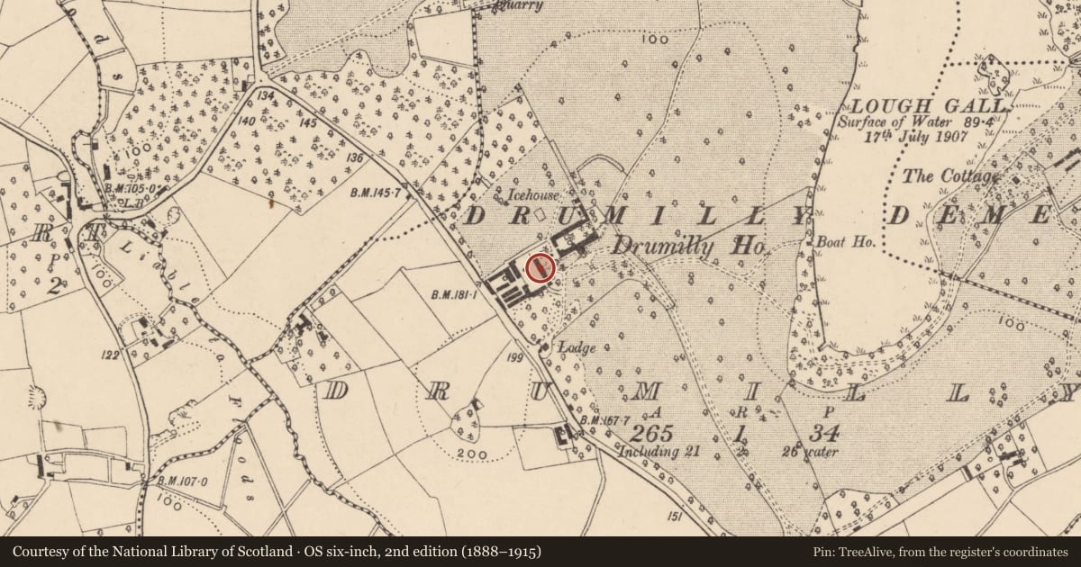
- THE OLD COACH HOUSE AT, THE NOW DEMOLISHED DRUMILLY HOUSE, DRUMILLY, LOUGHGALL, CO.ARMAGH
- Council
- Armagh City, Banbridge and Craigavon
- Country
- Northern Ireland
- Coordinates
- 54.40125, -6.61002
- HB reference
- HB15/03/007
Slide toward Today to fade the historical sheet and see the modern map underneath.
David Rumsey Map Collection, Stanford LibrariesDavid Rumsey Map Collection, Stanford LibrariesDavid Rumsey Map Collection, Stanford LibrariesDavid Rumsey Map Collection, Stanford Libraries
4 historical maps cover this location, the earliest the 1636 map "Vltoniae Orientalis Pars" (David Rumsey Map Collection, Stanford Libraries).
Historical maps covering this location
- 1636 · Vltoniae Orientalis Pars (David Rumsey Map Collection, Stanford Libraries)
- 1790 · Composite: Ireland. (David Rumsey Map Collection, Stanford Libraries)
- 1869 · Ireland. (David Rumsey Map Collection, Stanford Libraries)
- 1891 · Ireland 16 (David Rumsey Map Collection, Stanford Libraries)
Nearby in the register
- ICE HOUSEunder 1 mi
- Ruins of house to west of 52 Ballygasey Road (former fever hospital)No type recordedunder 1 mi
- Old School HouseNo type recordedunder 1 mi
- St Luke's Church of Ireland ChurchChurchunder 1 mi
Other entries of the same register within about three miles of this one, by straight line.
Department for Communities, Historic Environment Division, Historic Buildings Record. Contains public sector information licensed under the Open Government Licence v3.0. Department for Communities, Historic Environment Division · Open Government Licence v3.0
See your own family's places on a living map