Historic Buildings Record · Northern Ireland
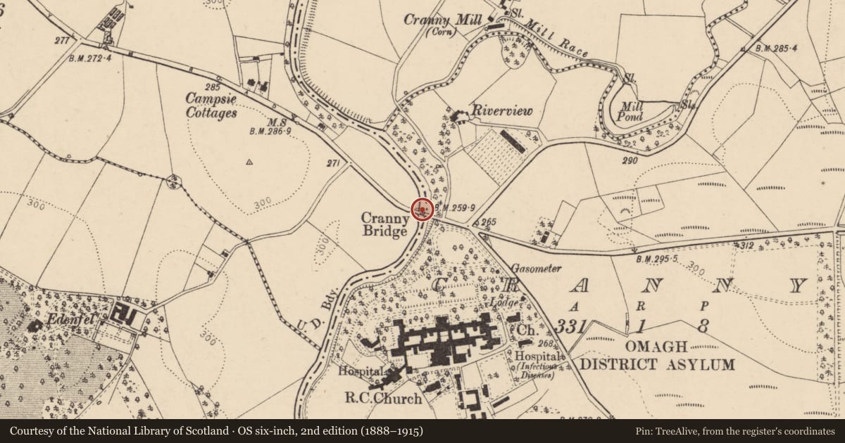
Cranny Bridge
Fermanagh and Omagh, Northern Ireland
The record
- Designation
- Record only (not listed)
- Grade
- Record Only
- Type
- No type recorded
- Address
- Cranny Bridge, Hospital Road, Omagh, BT79, ** See General Comments **
- Council
- Fermanagh and Omagh
- Country
- Northern Ireland
- Coordinates
- 54.59540, -7.27038
- Date of survey
- 13 February 2009
- HB reference
- HB11/15/009
Slide toward Today to fade the historical sheet and see the modern map underneath.
David Rumsey Map Collection, Stanford LibrariesDavid Rumsey Map Collection, Stanford LibrariesDavid Rumsey Map Collection, Stanford LibrariesDavid Rumsey Map Collection, Stanford Libraries
4 historical maps cover this location, the earliest the 1636 map "Vltoniae Orientalis Pars" (David Rumsey Map Collection, Stanford Libraries).
The Department's description
Exterior description and setting
Three-span road bridge, now demolished.
Not deemed to meet the criteria required to be worthy of a full survey as the bridge recorded in the First Survey has been demolished.
Historical information
N/A
Criteria for listing: architectural interest
Not listed
Criteria for listing: historic interest
Not listed
Evaluation
This is not deemed to meet the criteria required to be worthy of a full survey as the bridge recorded in the First Survey has been demolished.
General comments
Three-span road bridge, now demolished.
Nearby in the register
- Fermanagh and Tyrone HospitalSchoolunder 1 mi
- GatelodgeGates/ Screens/ Lodgesunder 1 mi
- Protestant ChurchChurchunder 1 mi
- Water TowerWater Works Structuresunder 1 mi
Other entries of the same register within about three miles of this one, by straight line.