Historic Buildings Record · Northern Ireland
Nos 13, 1-12 Holmview Terrace
Fermanagh and Omagh, Northern Ireland
The record
- Designation
- Record only (not listed)
- Grade
- Record Only
- Type
- No type recorded
- Address
- Nos 13, 1-12 Holmview Terrace, Campsie Road, Omagh, Co. Tyrone, BT79 0AH, **see general comments**
- Council
- Fermanagh and Omagh
- Country
- Northern Ireland
- Coordinates
- 54.60075, -7.29364
- Date of survey
- 29 June 2009
- HB reference
- HB11/14/002
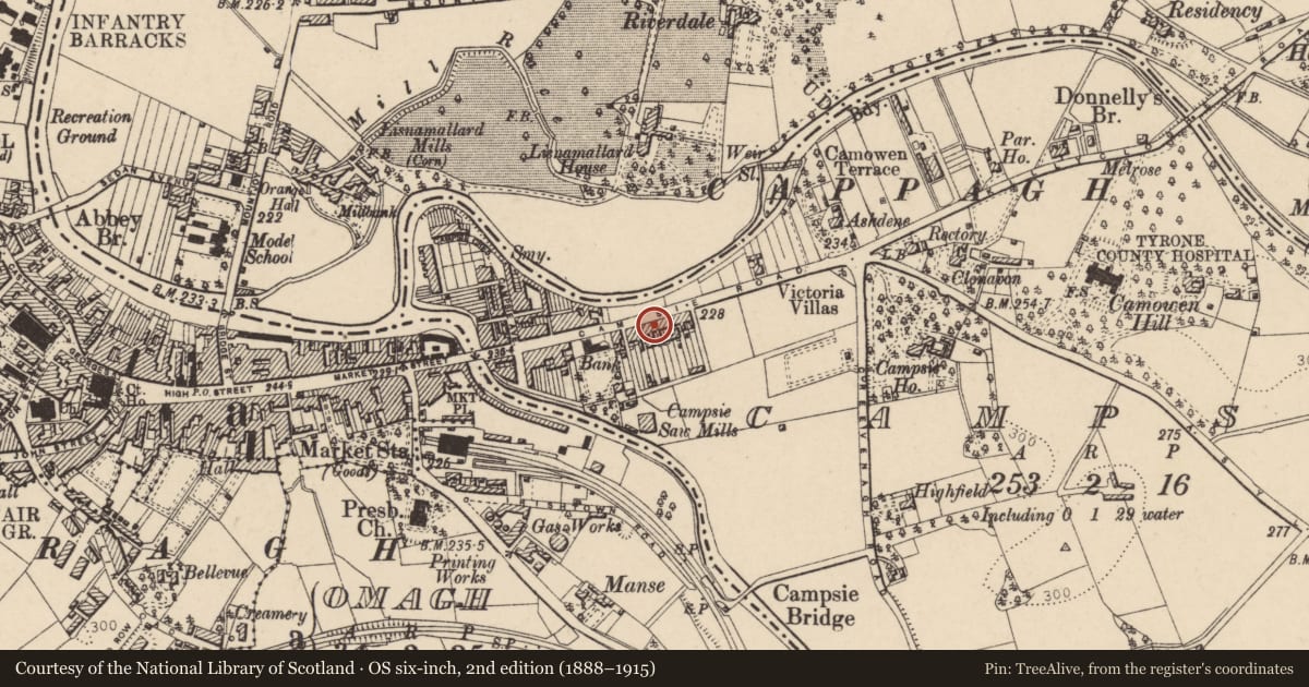
Slide toward Today to fade the historical sheet and see the modern map underneath.
David Rumsey Map Collection, Stanford LibrariesDavid Rumsey Map Collection, Stanford LibrariesDavid Rumsey Map Collection, Stanford LibrariesDavid Rumsey Map Collection, Stanford Libraries
4 historical maps cover this location, the earliest the 1636 map "Vltoniae Orientalis Pars" (David Rumsey Map Collection, Stanford Libraries).
Historical maps covering this location
- 1636 · Vltoniae Orientalis Pars (David Rumsey Map Collection, Stanford Libraries)
- 1891 · Ireland 16 (David Rumsey Map Collection, Stanford Libraries)
- 1904 · Sheet 4. (David Rumsey Map Collection, Stanford Libraries)
- 1922 · Ireland - northern section. (David Rumsey Map Collection, Stanford Libraries)
The Department's description
Exterior description and setting
The buildings No 13, 1-12 Holmview Terrace, Campsie Road, Omagh are not deemed to merit a full record.
No first survey photo.
Historical information
N/A
Criteria for listing: architectural interest
Not listed
Criteria for listing: historic interest
Not listed
Evaluation
The buildings No 13, 1-12 Holmview Terrace, Campsie Road, Omagh are not deemed to merit a full record. Extensive alterations have compromised their interest.
General comments
The buildings No 13, 1-12 Holmview Terrace, Campsie Road, Omagh are not deemed to be worthy of a full record.
No first survey photo.
Nearby in the register
- Bank of IrelandBankunder 1 mi
- 46-48 Campsie Road,Officeunder 1 mi
- Lisnamallard HouseOfficeunder 1 mi
- Campsie BridgeBridgeunder 1 mi
Other entries of the same register within about three miles of this one, by straight line.