Historic Buildings Record · Northern Ireland
Harry Avery's Castle, Oldcastle Road, Newtownstewart BT78 4BS
Derry City and Strabane, Northern Ireland
The record
- Designation
- Record only (not listed)
- Grade
- Record Only
- Type
- No type recorded
- Address
- Harry Avery's Castle, Oldcastle Road, Newtownstewart BT78 4BS
- Council
- Derry City and Strabane
- Country
- Northern Ireland
- Coordinates
- 54.71350, -7.39334
- HB reference
- HB10/04/056
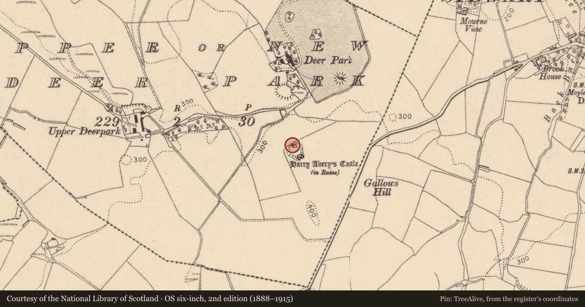
Slide toward Today to fade the historical sheet and see the modern map underneath.
David Rumsey Map Collection, Stanford LibrariesDavid Rumsey Map Collection, Stanford LibrariesDavid Rumsey Map Collection, Stanford LibrariesDavid Rumsey Map Collection, Stanford Libraries
4 historical maps cover this location, the earliest the 1636 map "Vltoniae Orientalis Pars" (David Rumsey Map Collection, Stanford Libraries).
The Department's description
Exterior description and setting
This fourteenth- or fifteenth-century castle ruin is already recorded as an ancient monument (NIEA SMR TYR 017:012).
This building was surveyed in the first survey and not listed. This building is now a Monument in State Care and so only a partial record was taken.
Criteria for listing: architectural interest
Not listed
Criteria for listing: historic interest
Not listed
Evaluation
This building was surveyed in the first survey and not listed. This building is now a Monument in State Care and so only a partial record was taken.
General comments
This building was surveyed in the first survey and not listed. This building is now a Monument in State Care and so only a partial record was taken.
Nearby in the register
- Former Farmhouse, Cowmarket Street)No type recordedunder 1 mi
- 1 Baronscourt Road, Newtownstewart, Co Tyrone BT78 4EXHouseunder 1 mi
- Bellevue VillaHouseunder 1 mi
- 17 Dublin Street, Newtownstewart, Omagh, BT78 4AENo type recordedunder 1 mi
Other entries of the same register within about three miles of this one, by straight line.