Historic Buildings Record · Northern Ireland
Bungalow, Shore Street
Causeway Coast and Glens, Northern Ireland
The record
- Designation
- Record only (not listed)
- Grade
- D1 Record Only
- Type
- No type recorded
- Address
- Bungalow, Shore Street, Cushendall, Co. Antrim
- Council
- Causeway Coast and Glens
- Country
- Northern Ireland
- Coordinates
- 55.08222, -6.06334
- Date of survey
- 04 August 2014
- HB reference
- HB05/02/040
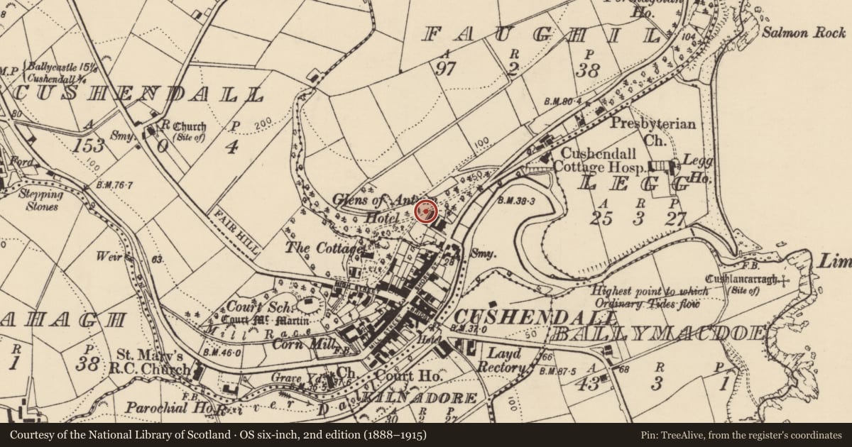
Slide toward Today to fade the historical sheet and see the modern map underneath.
David Rumsey Map Collection, Stanford LibrariesDavid Rumsey Map Collection, Stanford LibrariesDavid Rumsey Map Collection, Stanford LibrariesDavid Rumsey Map Collection, Stanford Libraries
4 historical maps cover this location, the earliest the 1831 map "Scotland southern." (David Rumsey Map Collection, Stanford Libraries).
Historical maps covering this location
- 1831 · Scotland southern. (David Rumsey Map Collection, Stanford Libraries)
- 1841 · Scotland (Southern part). XIII (David Rumsey Map Collection, Stanford Libraries)
- 1883 · Scotland. (David Rumsey Map Collection, Stanford Libraries)
- 1922 · Scotland - southern section. (David Rumsey Map Collection, Stanford Libraries)
The Department's description
Exterior description and setting
Assumed demolished. All bungalows on Shore Street are modern.
Only a partial record of this building was taken during the Second Survey as the building has been demolished.
Evaluation
Assumed demolished. All bungalows on Shore Street are modern.
Only a partial record of this building was taken during the Second Survey as the building has been demolished.
General comments
Assumed demolished. All bungalows on Shore Street are modern.
Only a partial record of this building was taken during the Second Survey as the building has been demolished.
Nearby in the register
- Glens of Antrim HotelNo type recordedunder 1 mi
- 21 Shore StreetStoreunder 1 mi
- 18 Shore StreetHouse - Terraceunder 1 mi
- 16 SHORE STHOUSEunder 1 mi
Other entries of the same register within about three miles of this one, by straight line.