Historic Buildings Record · Northern Ireland
Killowen Primary School
Causeway Coast and Glens, Northern Ireland
The record
- Designation
- Record only (not listed)
- Grade
- Record Only
- Type
- School
- Address
- Killowen Primary School, Shuttle Hill, Coleraine, Co. Londonderry, BT51 3BZ
- Council
- Causeway Coast and Glens
- Country
- Northern Ireland
- Coordinates
- 55.12706, -6.67592
- Date of survey
- 22 August 2012
- HB reference
- HB03/15/003
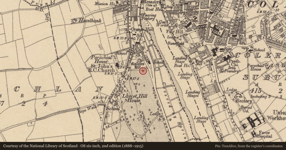
Slide toward Today to fade the historical sheet and see the modern map underneath.
David Rumsey Map Collection, Stanford LibrariesDavid Rumsey Map Collection, Stanford LibrariesDavid Rumsey Map Collection, Stanford LibrariesDavid Rumsey Map Collection, Stanford Libraries
4 historical maps cover this location, the earliest the 1841 map "Scotland (Southern part). XIII" (David Rumsey Map Collection, Stanford Libraries).
Historical maps covering this location
- 1841 · Scotland (Southern part). XIII (David Rumsey Map Collection, Stanford Libraries)
- 1881 · Ireland to Illustrate the Military Condition of the Country. (David Rumsey Map Collection, Stanford Libraries)
- 1883 · Scotland. (David Rumsey Map Collection, Stanford Libraries)
- 1891 · Ireland 16 (David Rumsey Map Collection, Stanford Libraries)
The Department's description
Exterior description and setting
This building was surveyed in the First Survey but not listed. A partial record only was taken during the Second Survey as the building is not worthy of a full survey.
A single storey 1930s school; central 5 bay section with wings to rear. Hipped tiled roof with central cupola; red brick walls; arched windows with multi-paned windows.
Criteria for listing: architectural interest
Not listed
Criteria for listing: historic interest
Not listed
Evaluation
This building was surveyed in the First Survey but not listed. A partial record only was taken during the Second Survey as the building is not worthy of a full survey.
A single storey 1930s school; central 5 bay section with wings to rear. Hipped tiled roof with central cupola; red brick walls; arched windows with multi-paned windows.
General comments
This building was surveyed in the First Survey but not listed. A partial record only was taken during the Second Survey as the building is not worthy of a full survey.
A single storey 1930s school; central 5 bay section with wings to rear. Hipped tiled roof with central cupola; red brick walls; arched windows with multi-paned windows.
Nearby in the register
- St John's Roman Catholic ChurchChurchunder 1 mi
- St John's Church of IrelandChurchunder 1 mi
- LAUREL HILL HOUSECOUNTRY HOUSEunder 1 mi
- THE GRANARYFARM BUILDINGSunder 1 mi
Other entries of the same register within about three miles of this one, by straight line.