Sites and Monuments Record · Ireland
Millstone quarry
Ballyhack, County Wexford, Ireland
The record
- Townland
- Ballyhack
- County
- Wexford
- Country
- Ireland
- First-edition OS map
- Not indicated
- Latest-edition OS map
- Not indicated
- Coordinates
- 52.24480, -6.96617
- SMR number
- WX044-031----
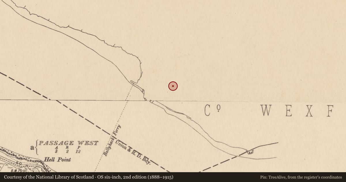
Slide toward Today to fade the historical sheet and see the modern map underneath.
University Library, Vrije Universiteit AmsterdamDavid Rumsey Map Collection, Stanford LibrariesUniversity Library, Vrije Universiteit AmsterdamDavid Rumsey Map Collection, Stanford Libraries
4 historical maps cover this location, the earliest the 1790 map "Composite: Ireland." (David Rumsey Map Collection, Stanford Libraries).
Historical maps covering this location
- 1790 · Composite: Ireland. (David Rumsey Map Collection, Stanford Libraries)
- 1891 · Ireland 16 (David Rumsey Map Collection, Stanford Libraries)
- 1904 · Sheet 14, 1904 (University Library, Vrije Universiteit Amsterdam)
- 1911 · Sheet 14, 1911 (University Library, Vrije Universiteit Amsterdam)
This record in the National Monuments Service's Historic Environment Viewer ↗
The National Monuments Service's description
Situated on top of cliffs (H c. 30-40m) down to the estuary of the Barrow/Nore/Suir, which is immediately to the SW. The medieval settlement on Great Island (WX039-090----) produced millstones in the middle ages, perhaps from this location. Robert Leigh writing in 1684 records that millstones were quarried from rock over Ballyhack (Hore 1858-9, 458). There are rectangular troughs (dims. c. 6m x 4m; D 0.3-0.5m), with the curved negative impression of millstones, cut into the surface of the rock outcrop. There are also some unfinished millstone rough-outs in the vicinity.
The above description is derived from the published 'Archaeological Inventory of County Wexford' (Dublin: Stationery Office, 1996). In certain instances the entries have been revised and updated in the light of recent research.
Compiled by: Michael Moore
Date of upload/revision: 17 June, 2013
References
Hore, H. F. 1858-9 A chorographic account of the southern part of the county of Wexford, written Anno 1684: by Robert Leigh, Esq., of Rosegarland, in that county. Journal of the Royal Society of Antiquaries of Ireland, vol. 5, 17-21, 451-67.
Nearby in the register
- Castle - tower houseunder 1 mi
- Stone troughunder 1 mi
- Graveyardunder 1 mi
- Churchunder 1 mi
Other entries of the same register within about three miles of this one, by straight line.